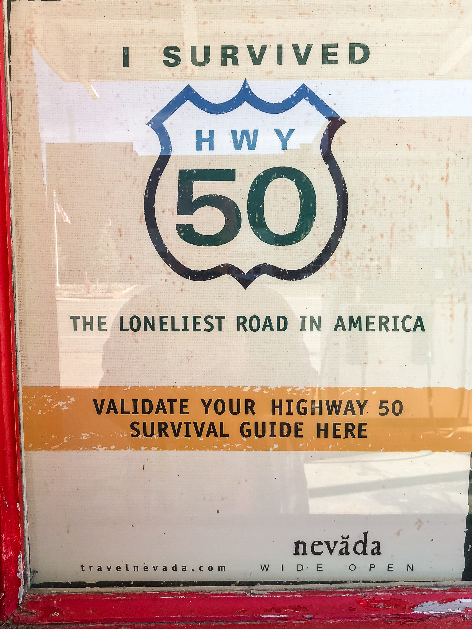
Before we left on the road trip, a month or so ago, I had gotten an email from Roadtrippers about Hwy. 50 through Nevada. It was named the "Loneliest Road in America" by Life magazine in 1986 due to large stretches of no signs of civilization. Instead of taking it as a negative, Nevada decided to use it as a slogan to advertise the stretch of highway across the state. Tiny towns dot the route between the mountains and valleys, on what is really quite an interesting highway. Our trip through Nevada (marked above) was partly traveled on Hwy. 50, from Ely to Middlegate.
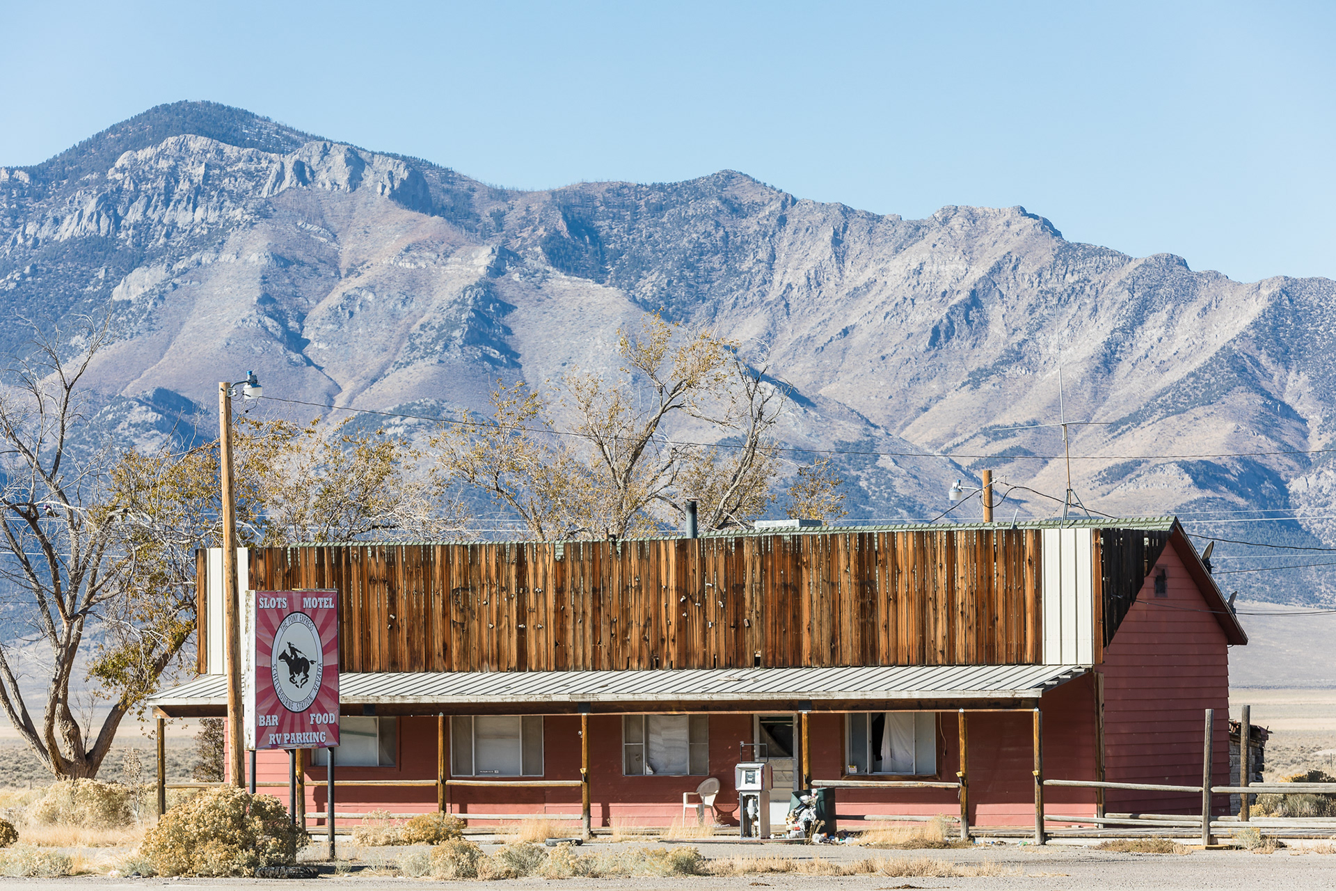
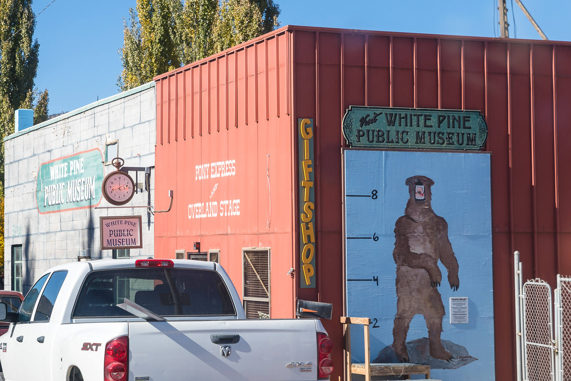
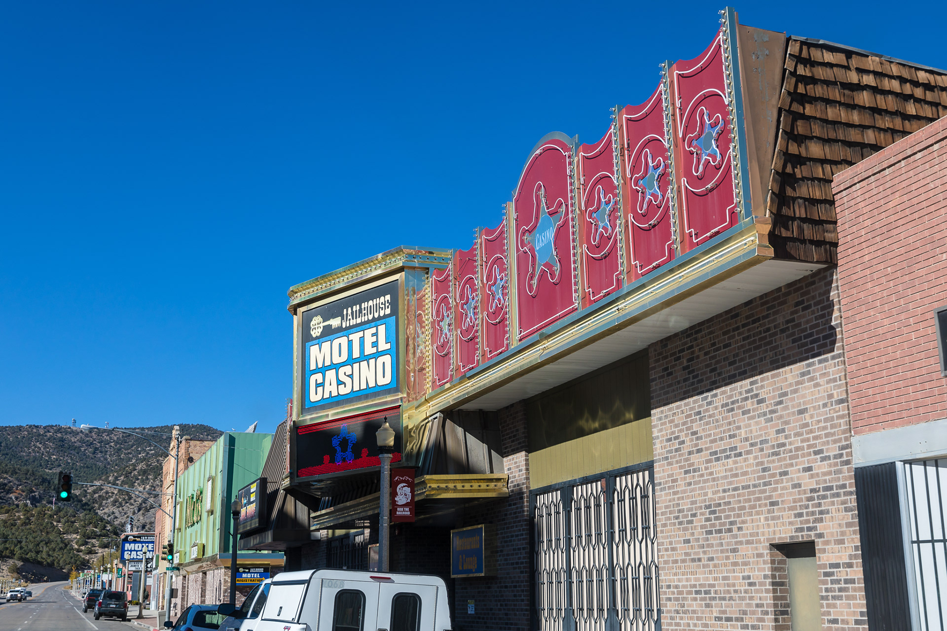
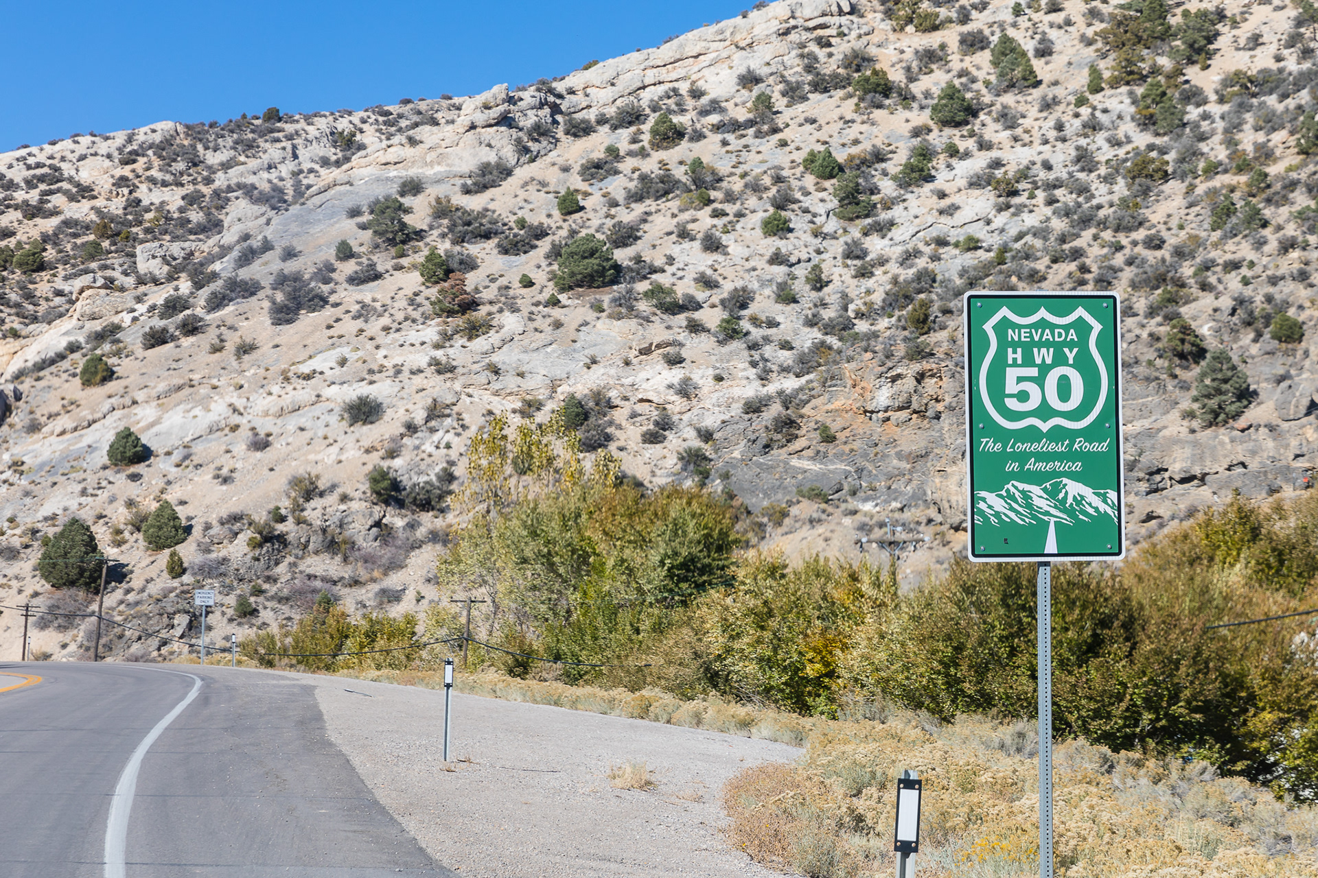
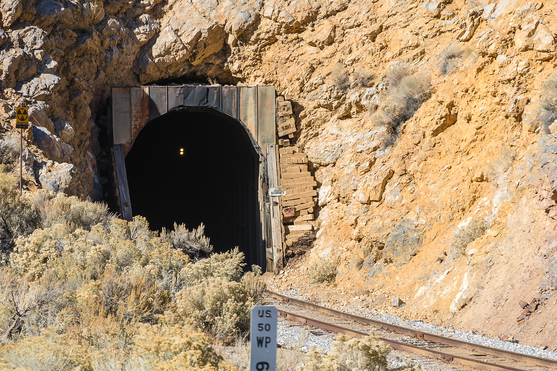
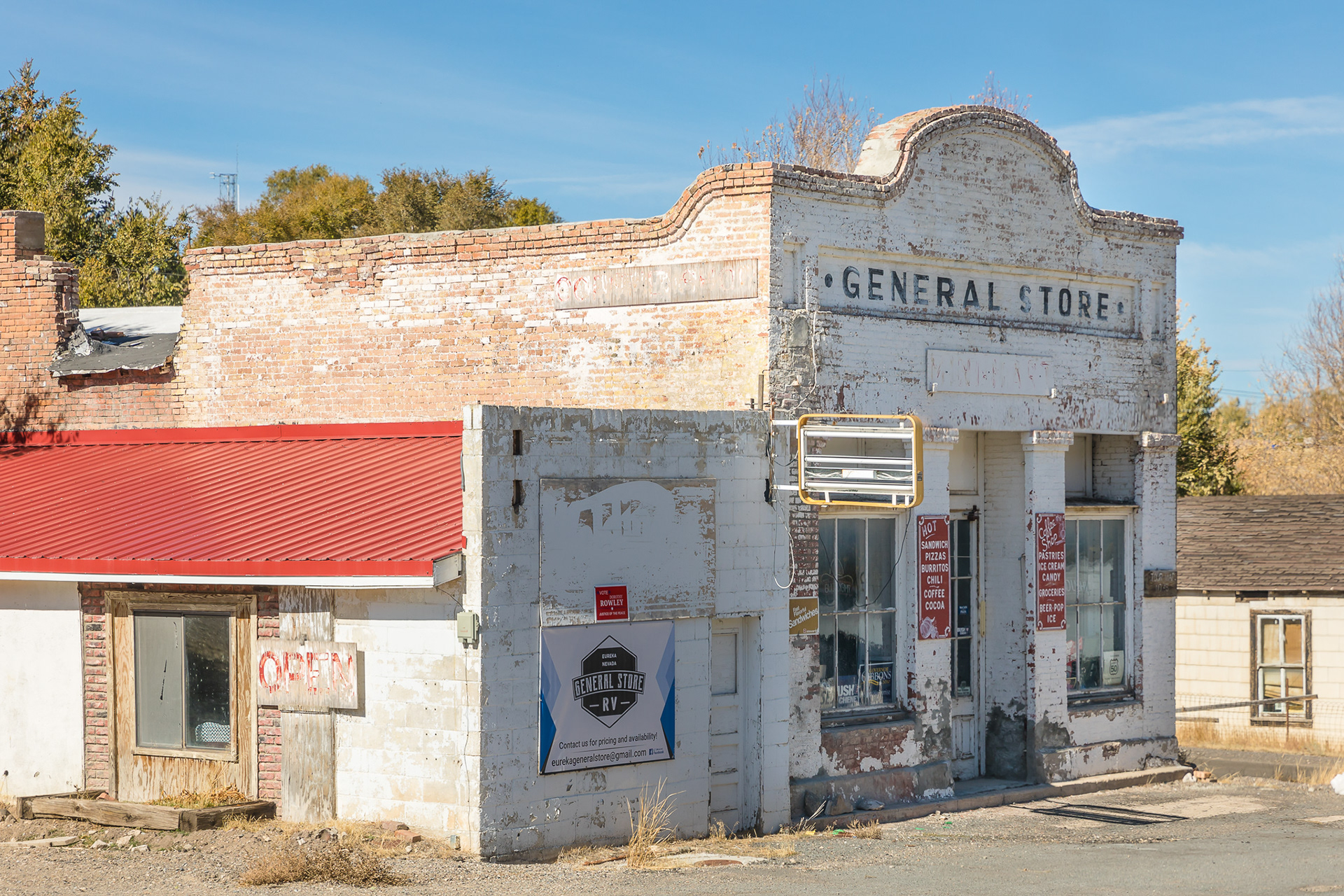
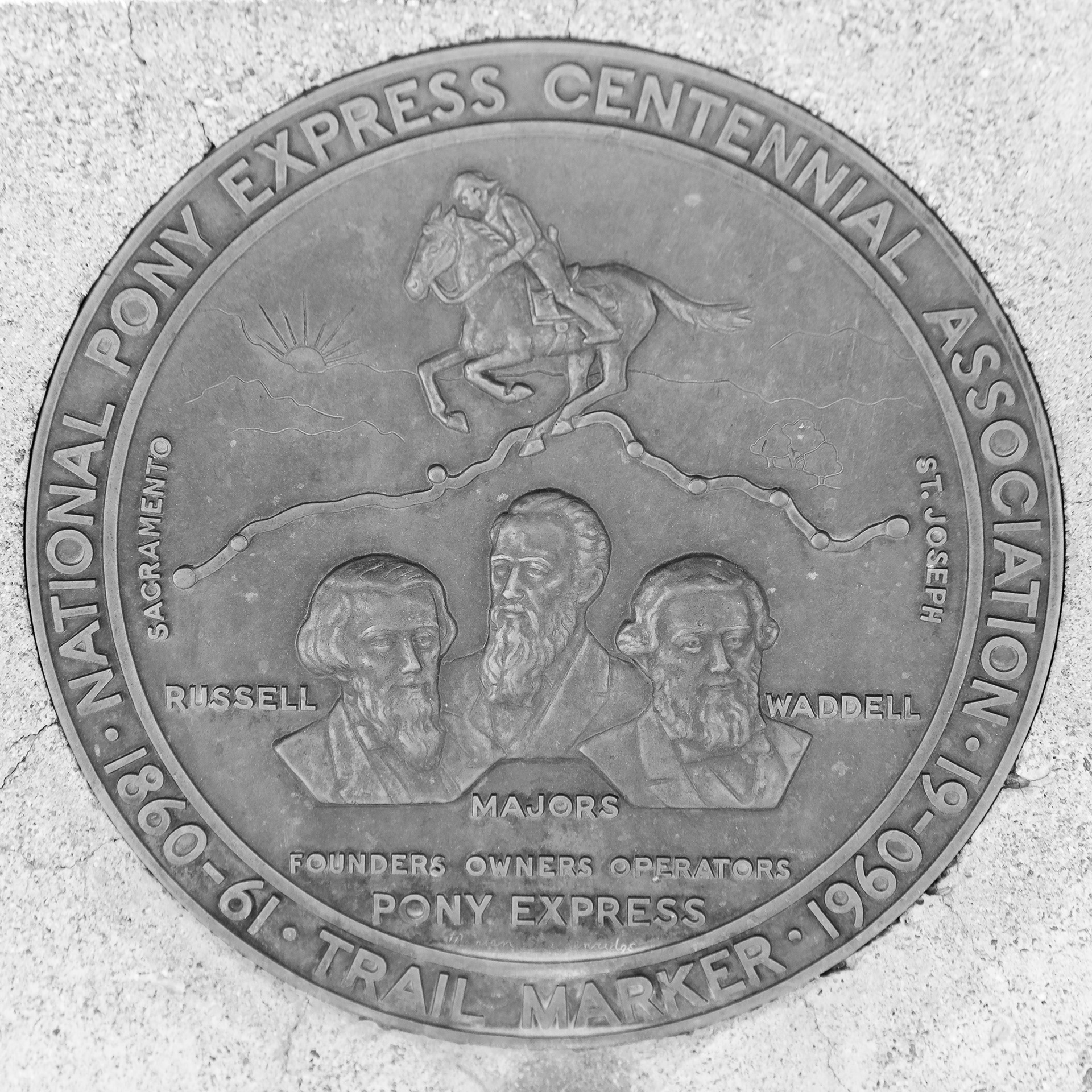
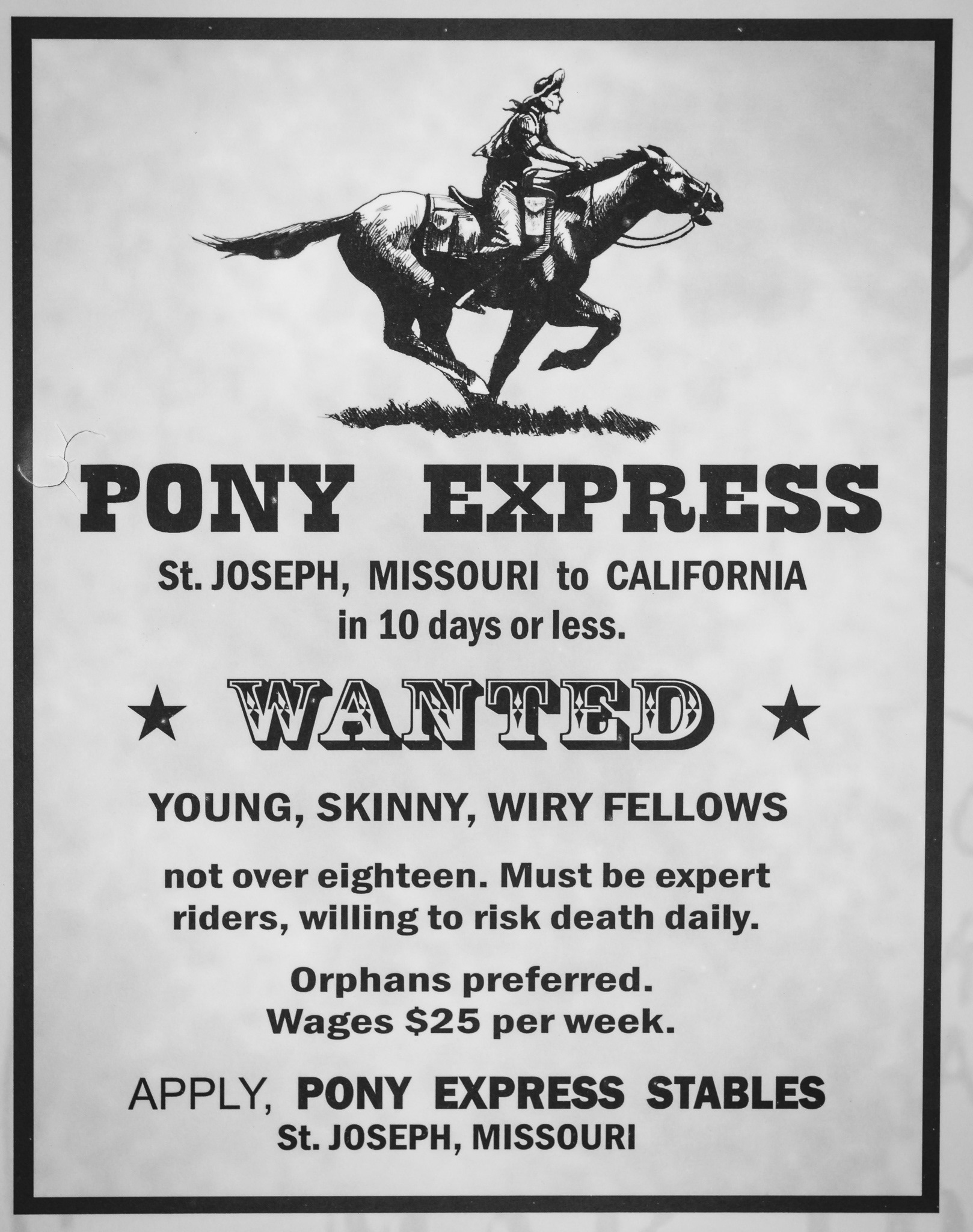
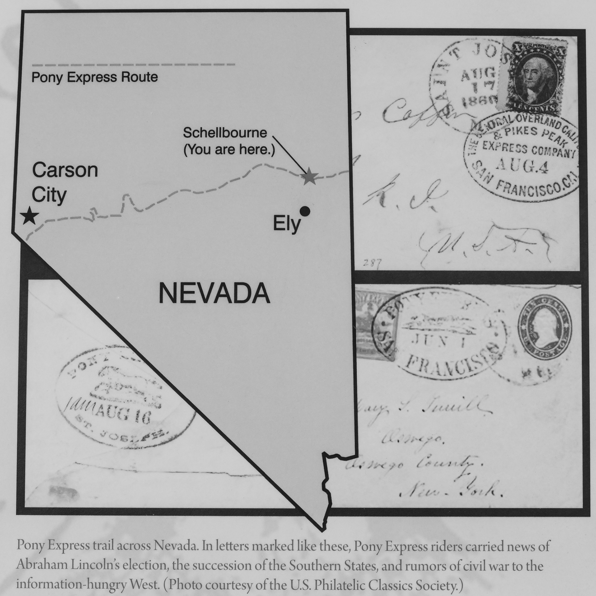
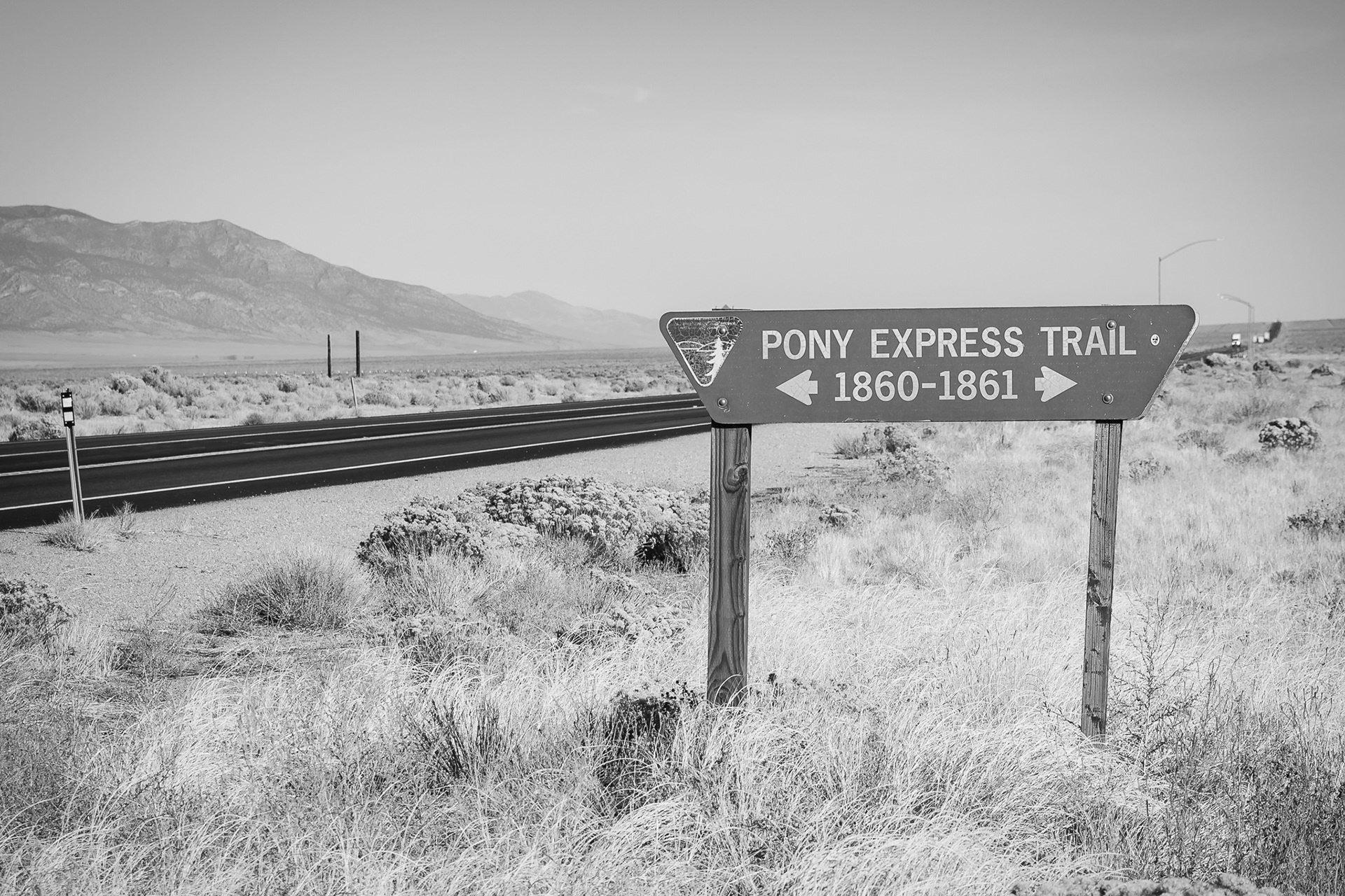
We also learned that the route was part of the Pony Express! Before the Pony Express, it took 24 days by stagecoach for news to travel from Missouri to California. With the Civil War brewing, the people in the west were eager for news to reach them quicker. The Pony Express route was nearly 2,000 miles long, had about 190 stations (mostly in Nebraska, Wyoming, Utah, and Nevada), and required about 10 days to cover. Each rider generally rode 75 to 100 miles and changed horses every 10 to 15 miles. Only government, large newspapers, and businesses could afford to get mail by the Pony Express — one ounce was the equivalent of $1,000 in today's money. Ultimately, the Pony Express was a financial disaster, only lasting 18 months, and being replaced by the telegraph.
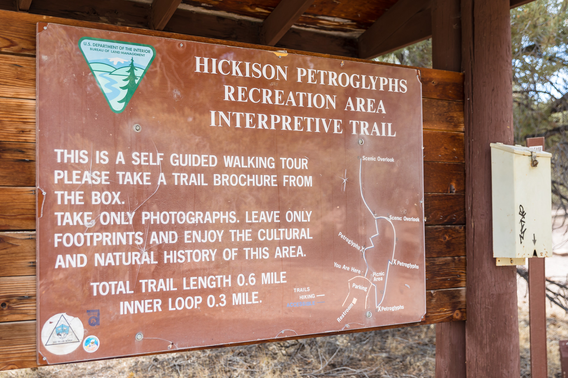
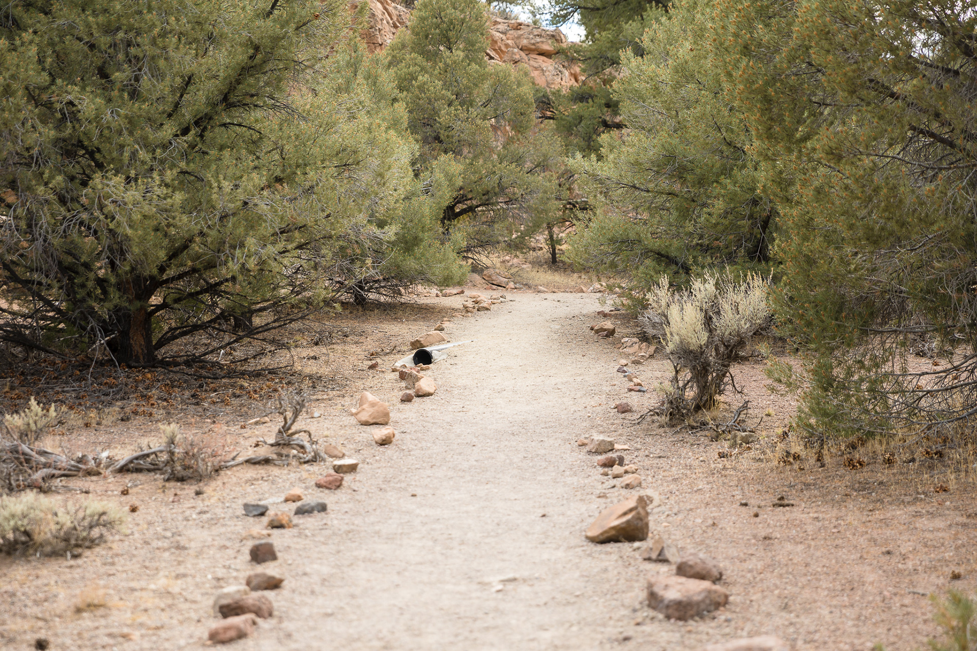
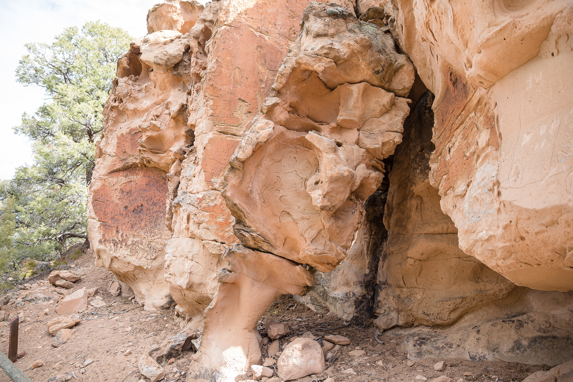
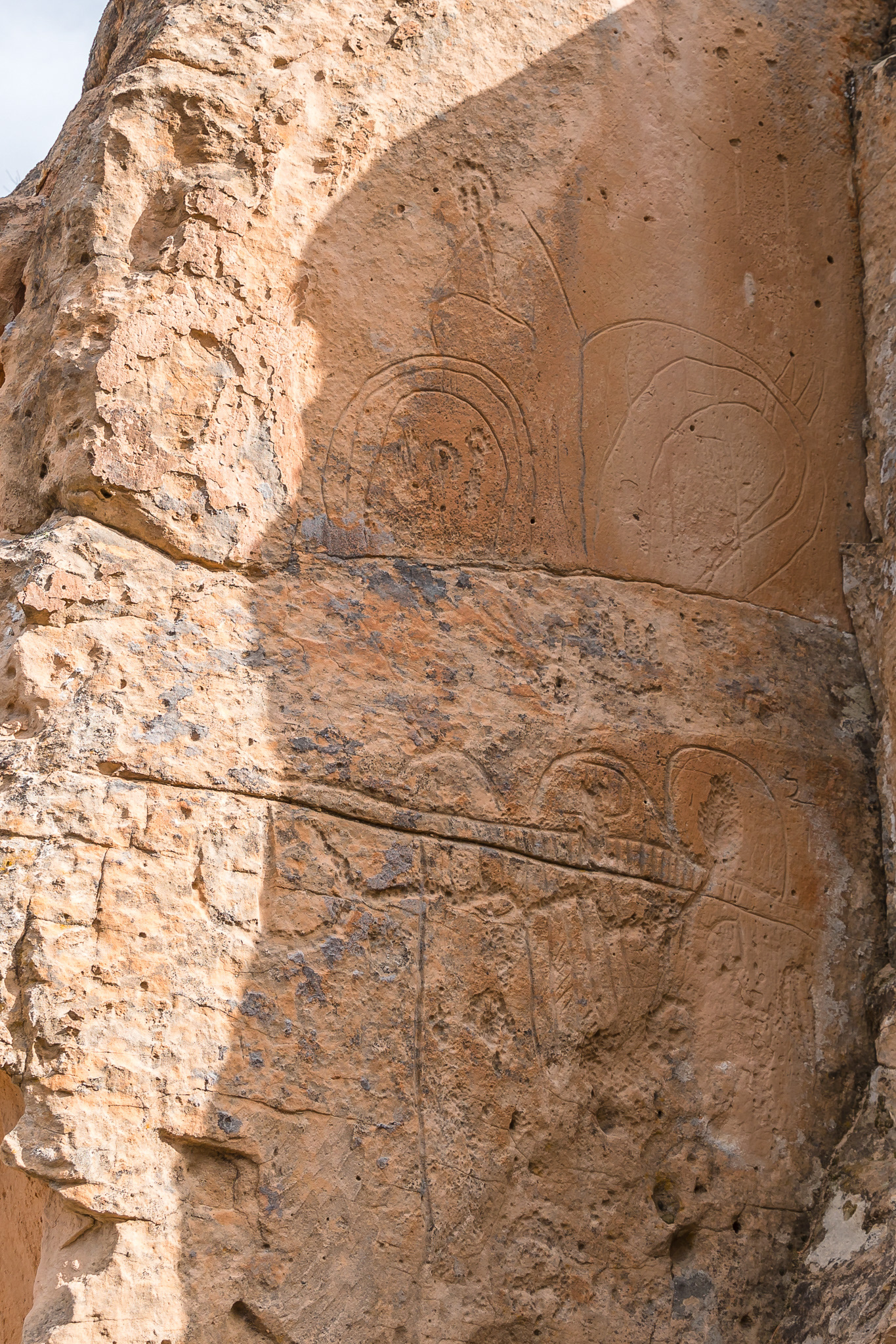
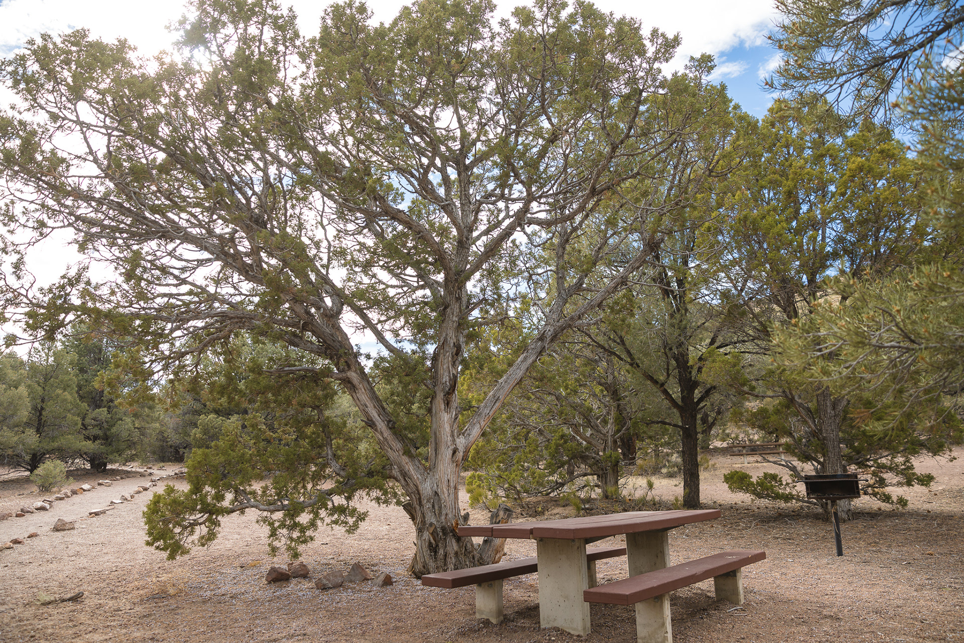
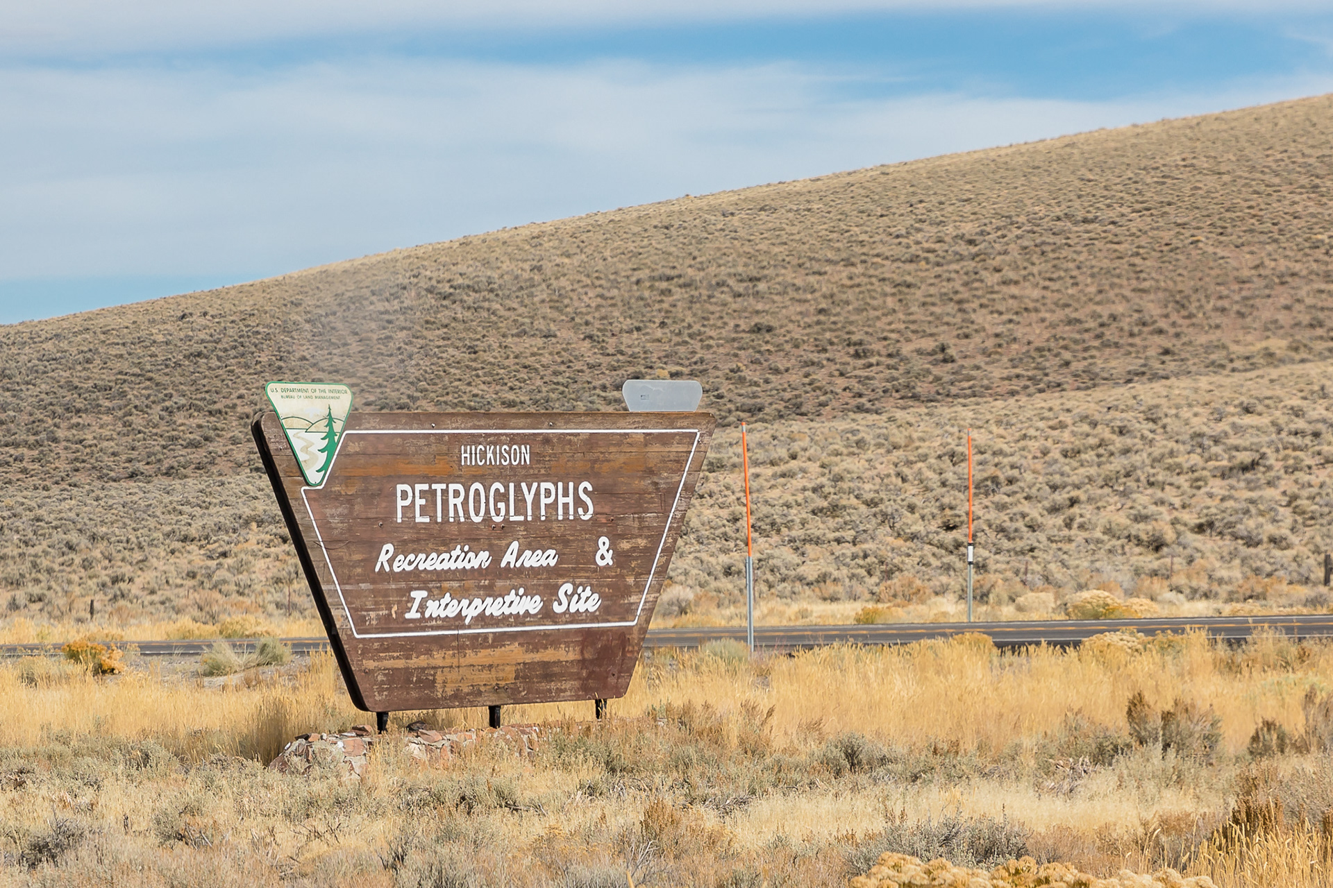
Just before Austin, Nevada, we stopped by the Hickison Petroglyph Recreation Area for just a bit. It was a nice trail that featured different sites of petroglyphs created by prehistoric people. In the general vicinity of Hickison Summit are multiple prehistoric hunting and living sites dating to 10,000 B.C. as well as more recent sites such as mining camps and ranches. We didn't have too long to spend there because we had a long drive ahead of us, but we did check it out a bit and it was a good chance to stretch our legs!
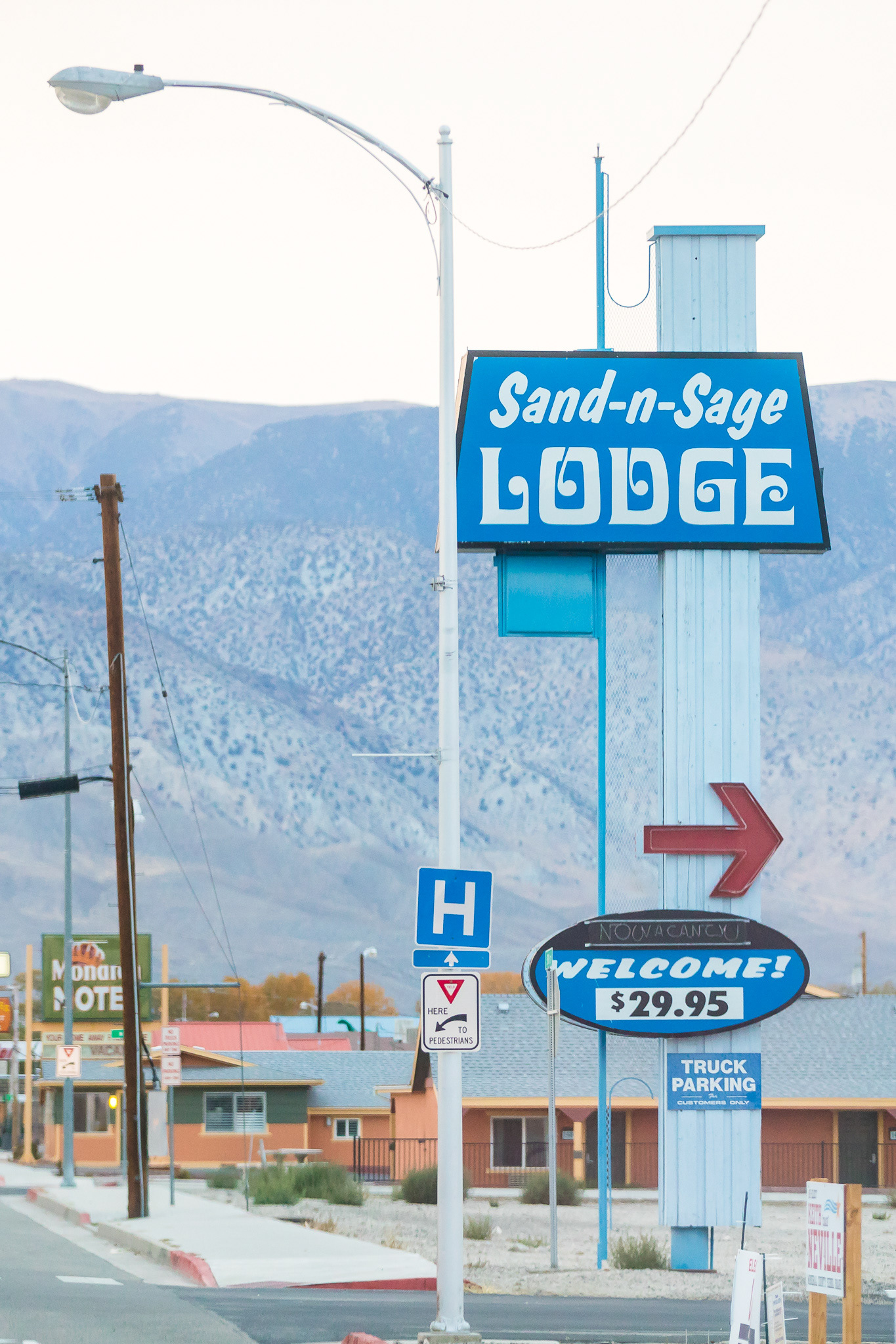
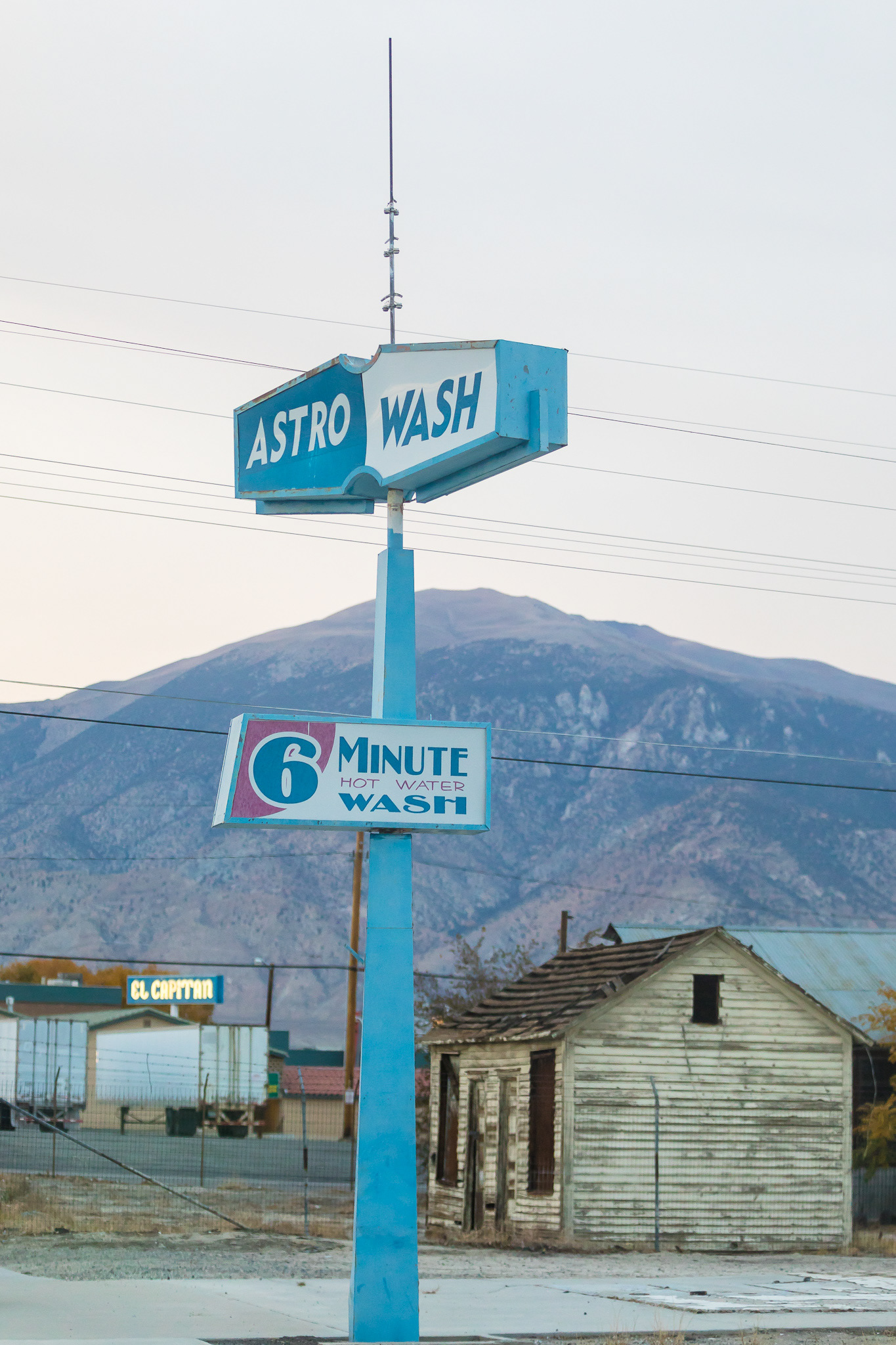
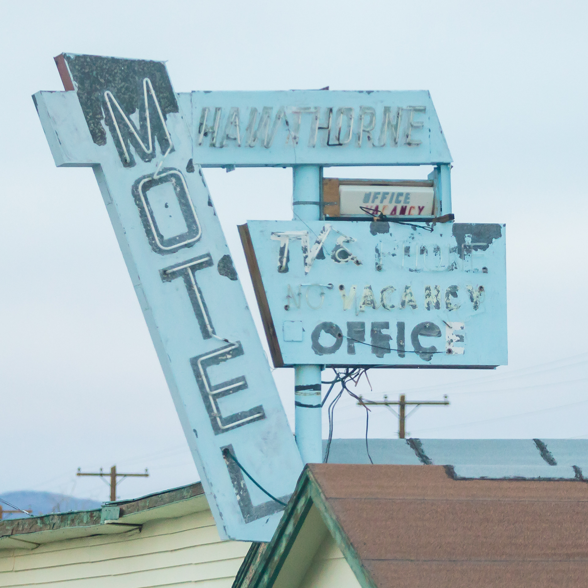
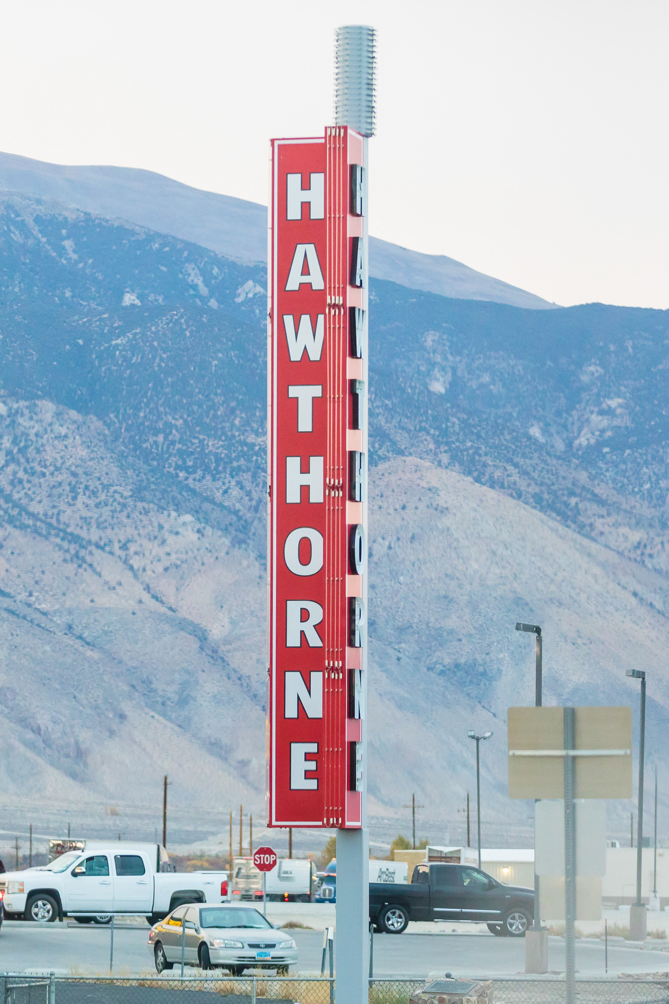
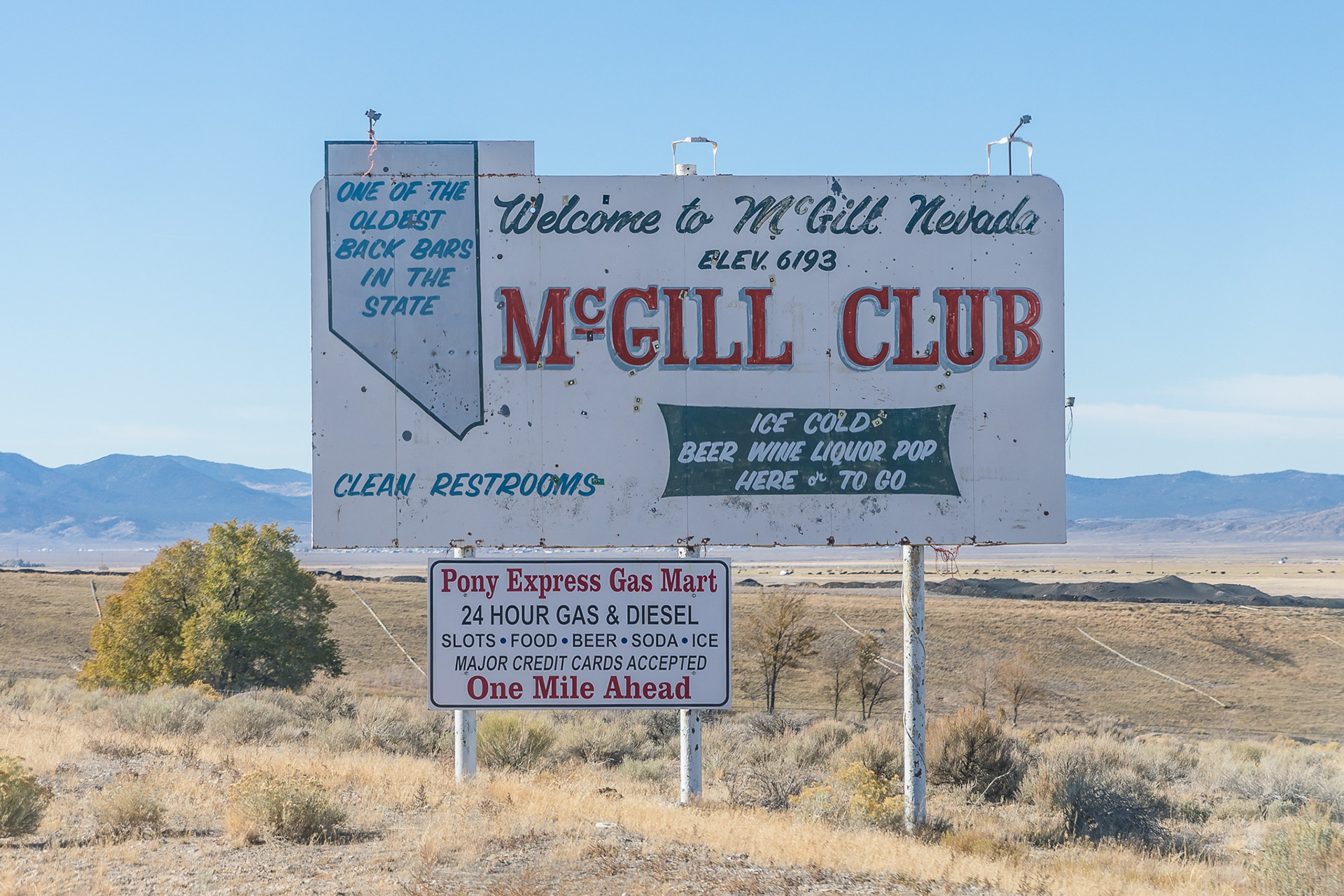
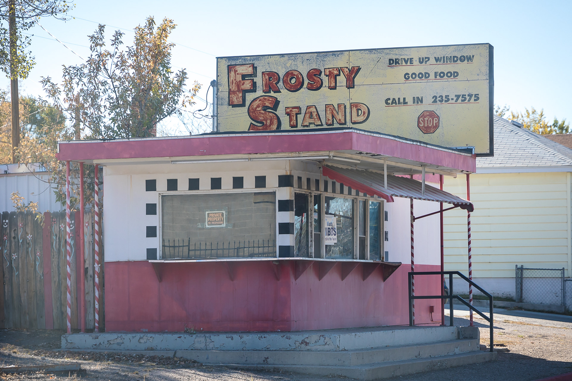
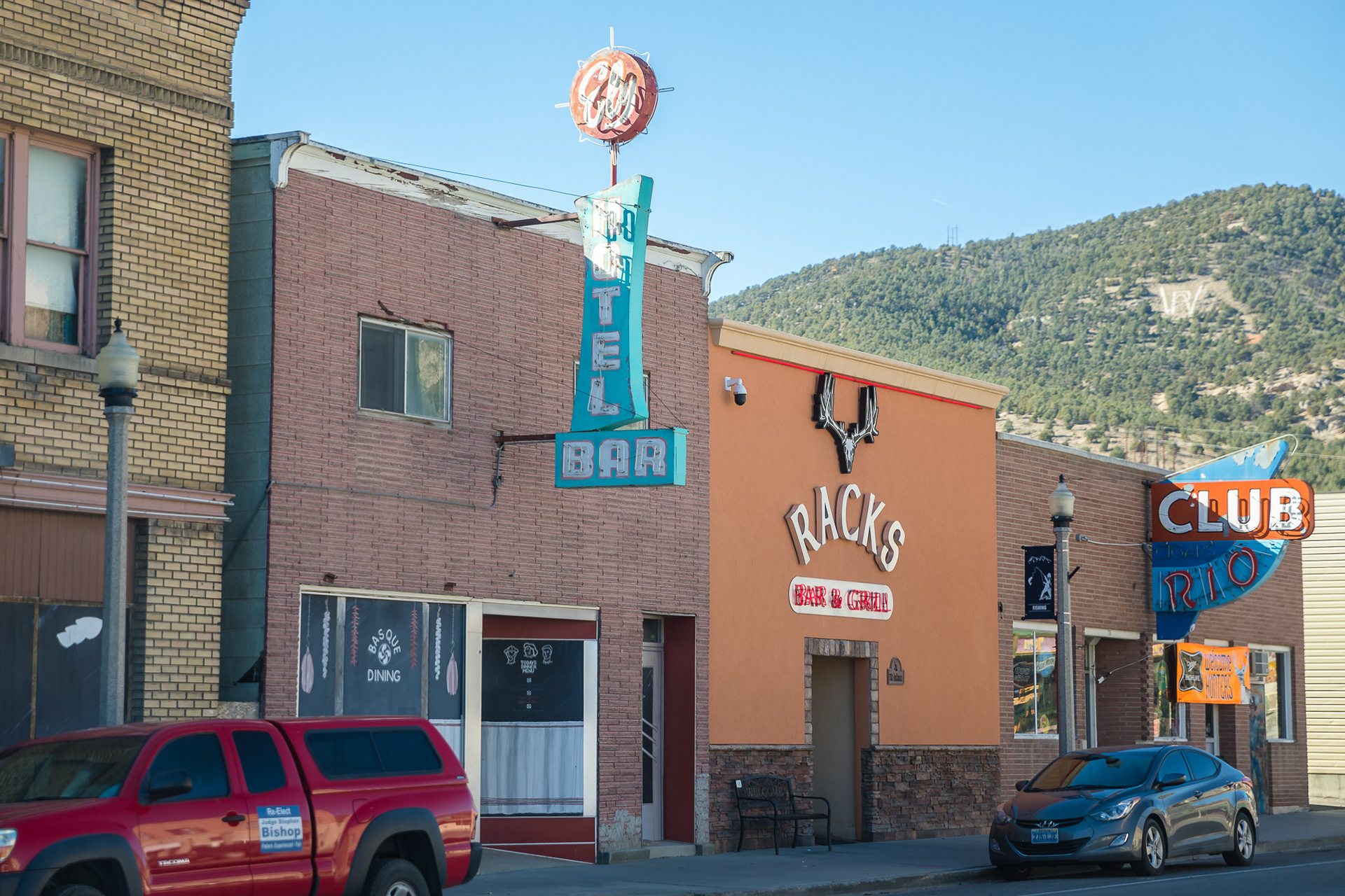
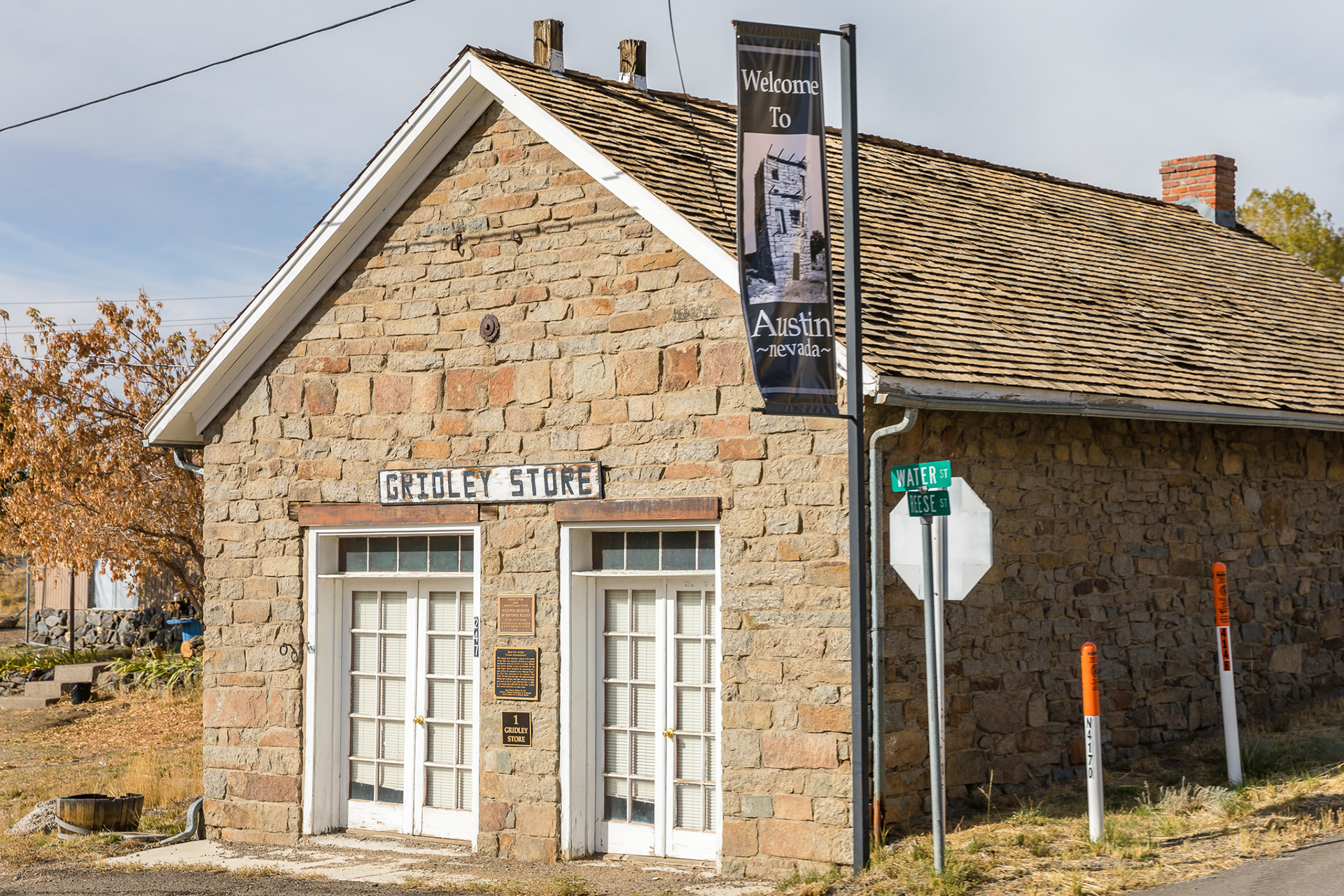
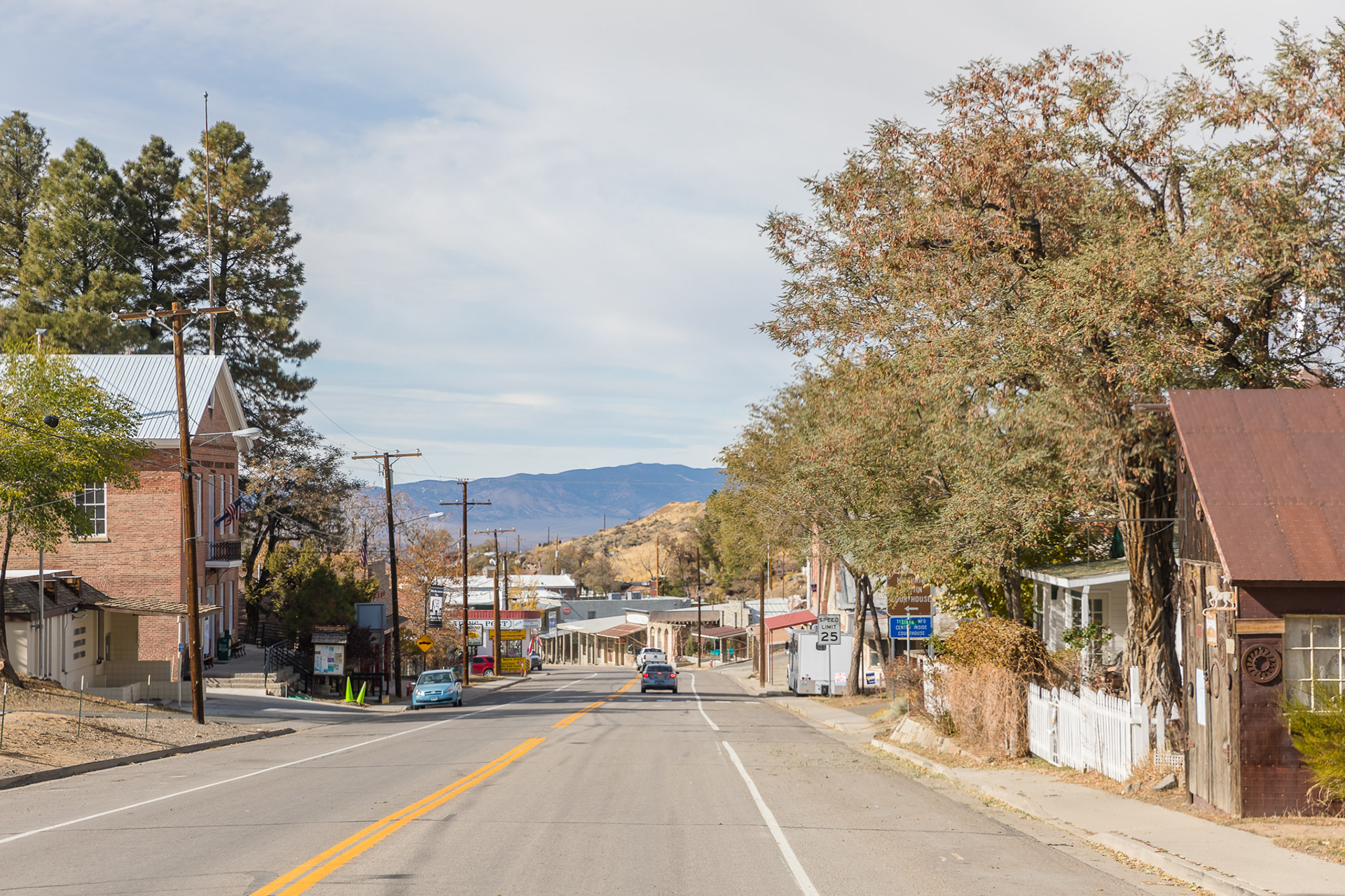
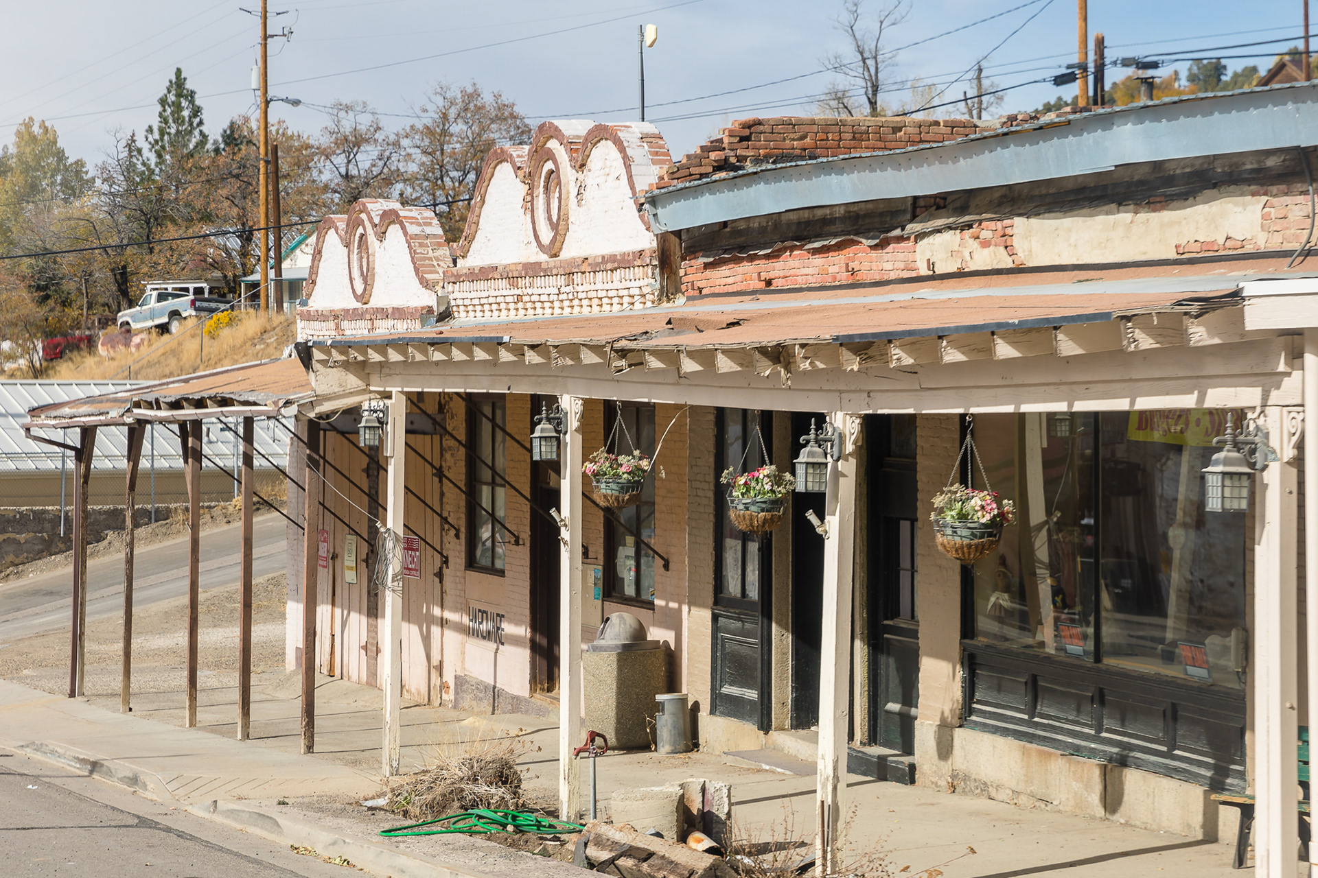
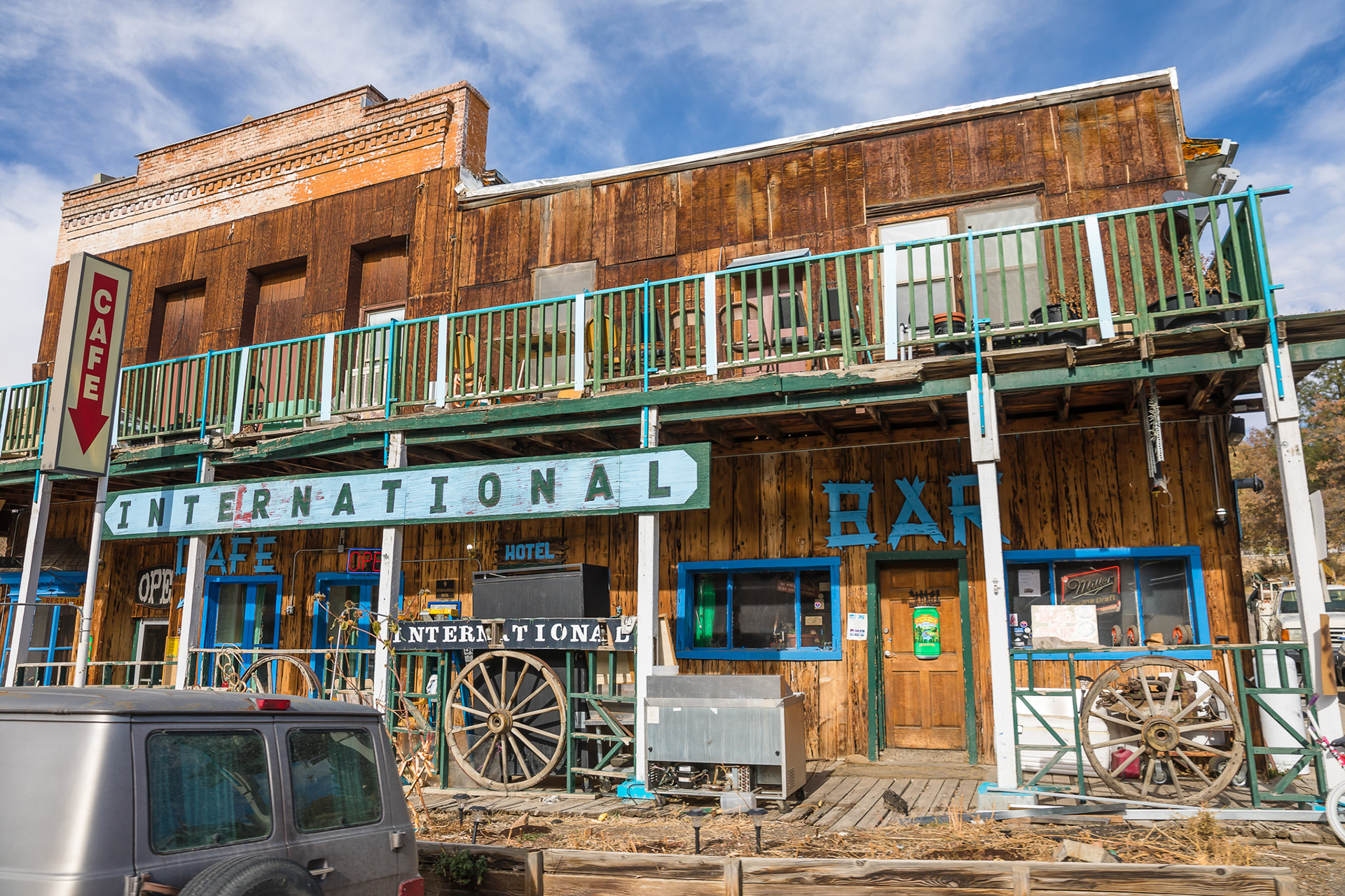
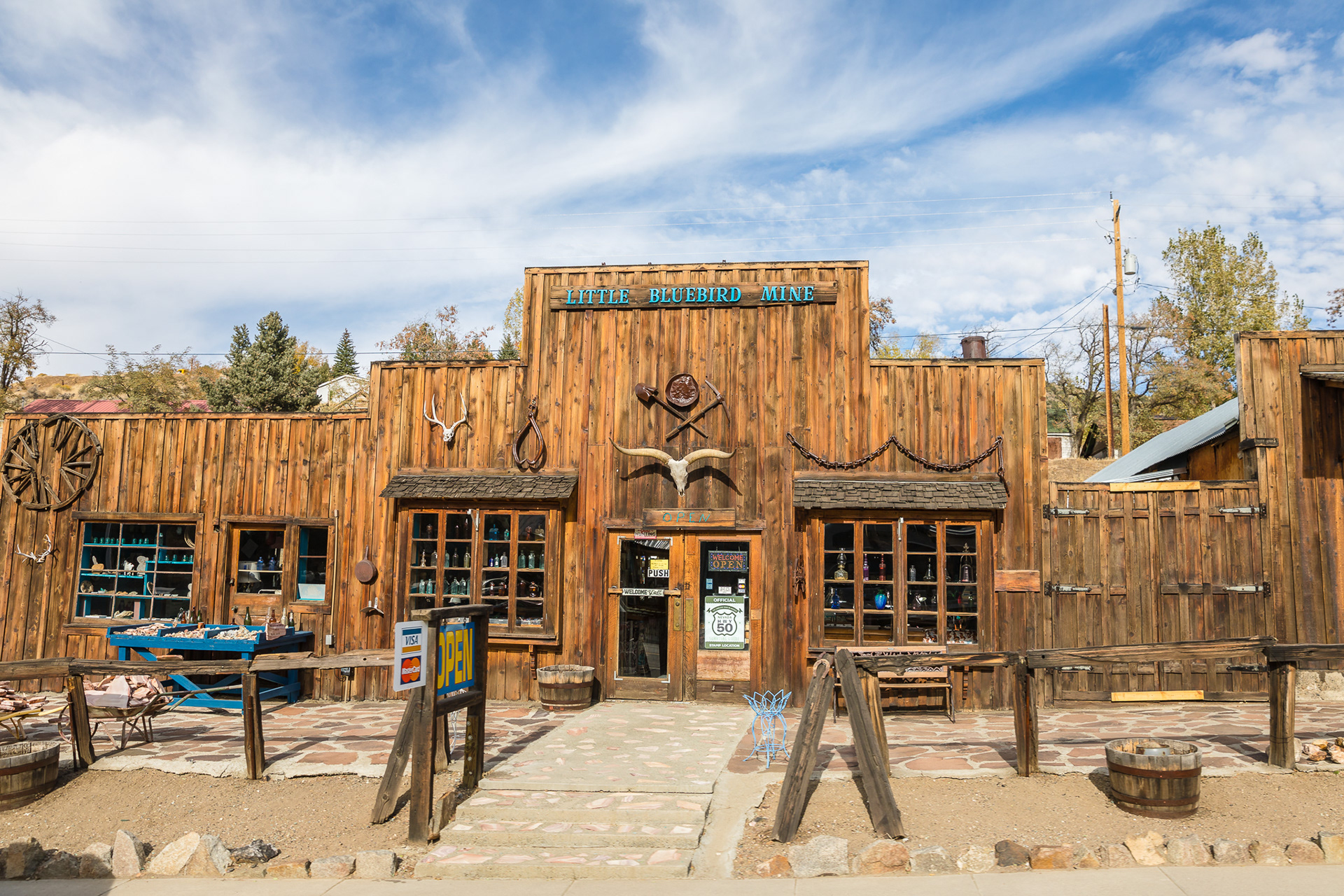
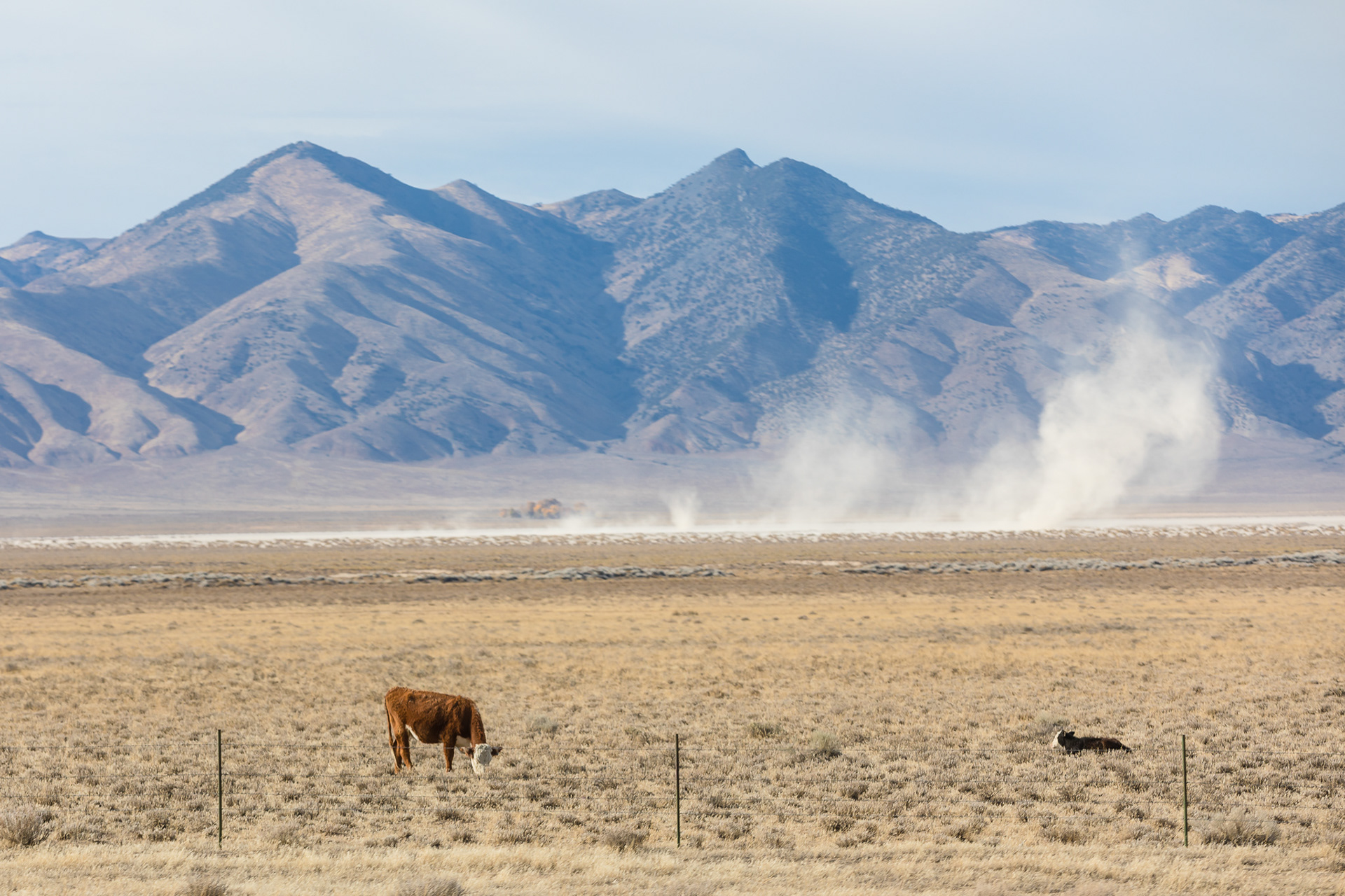
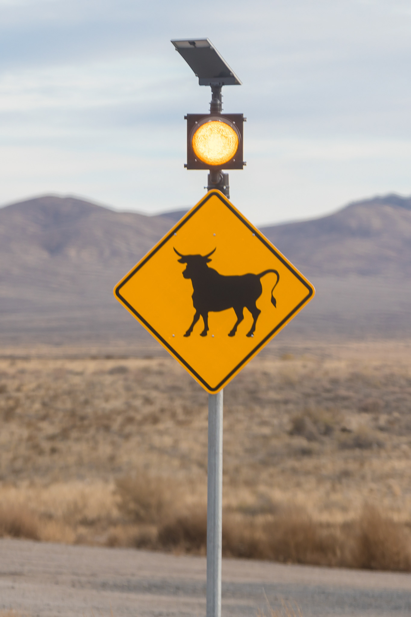
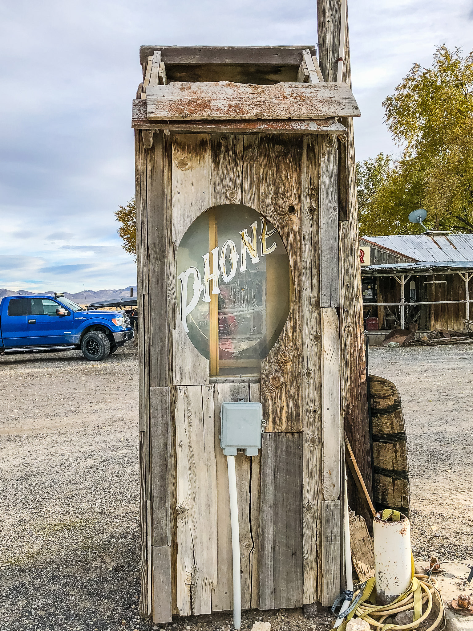
Back on the road again, we kept heading west and I would snap photos out of the window as Jim drove. Our plans were to try to meet up with Michelle and Nestor that evening outside of Yosemite, but we just weren't sure because we had so far to travel. But the scenery was beautiful and I loved the historic charm and details of the small towns along the way.

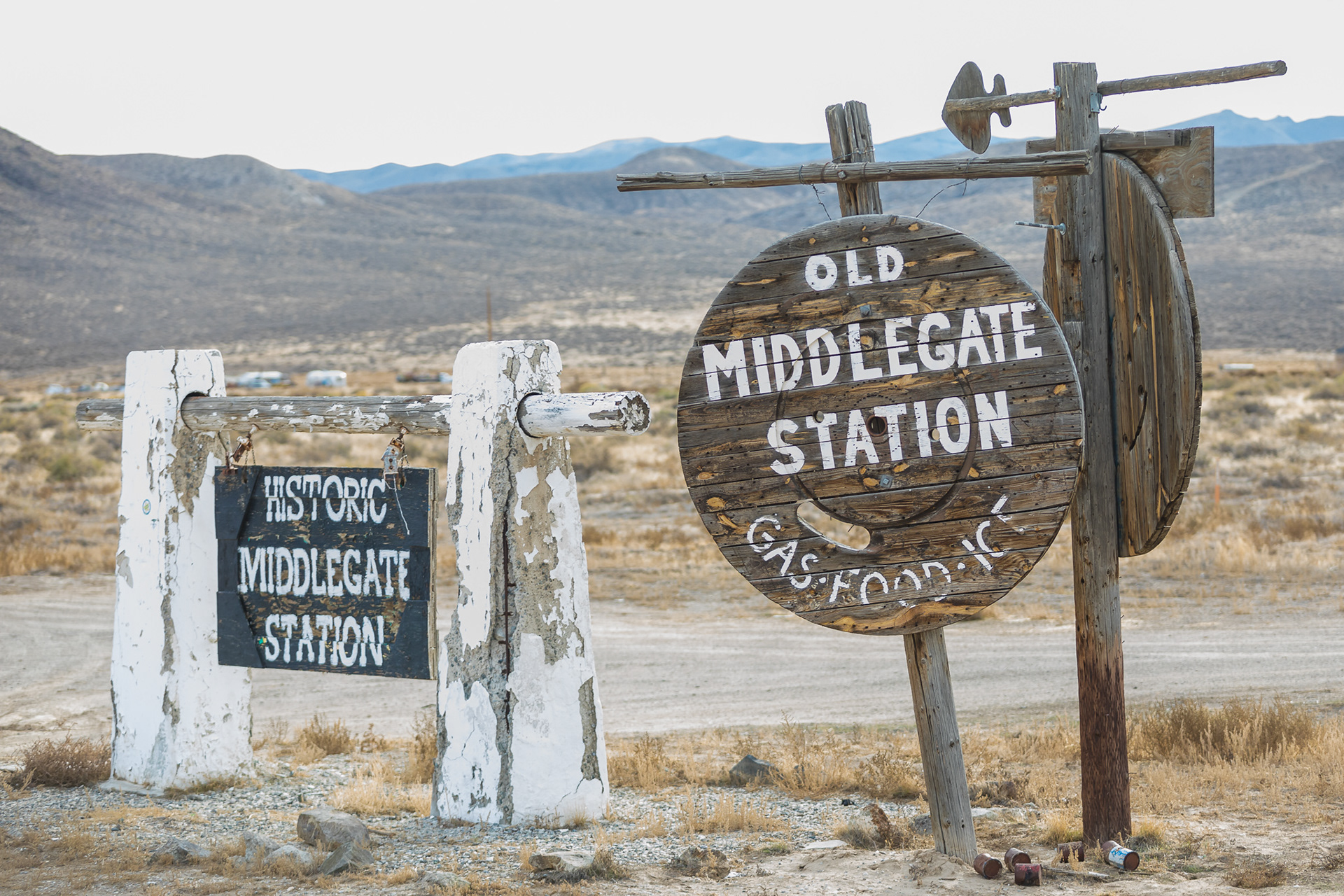
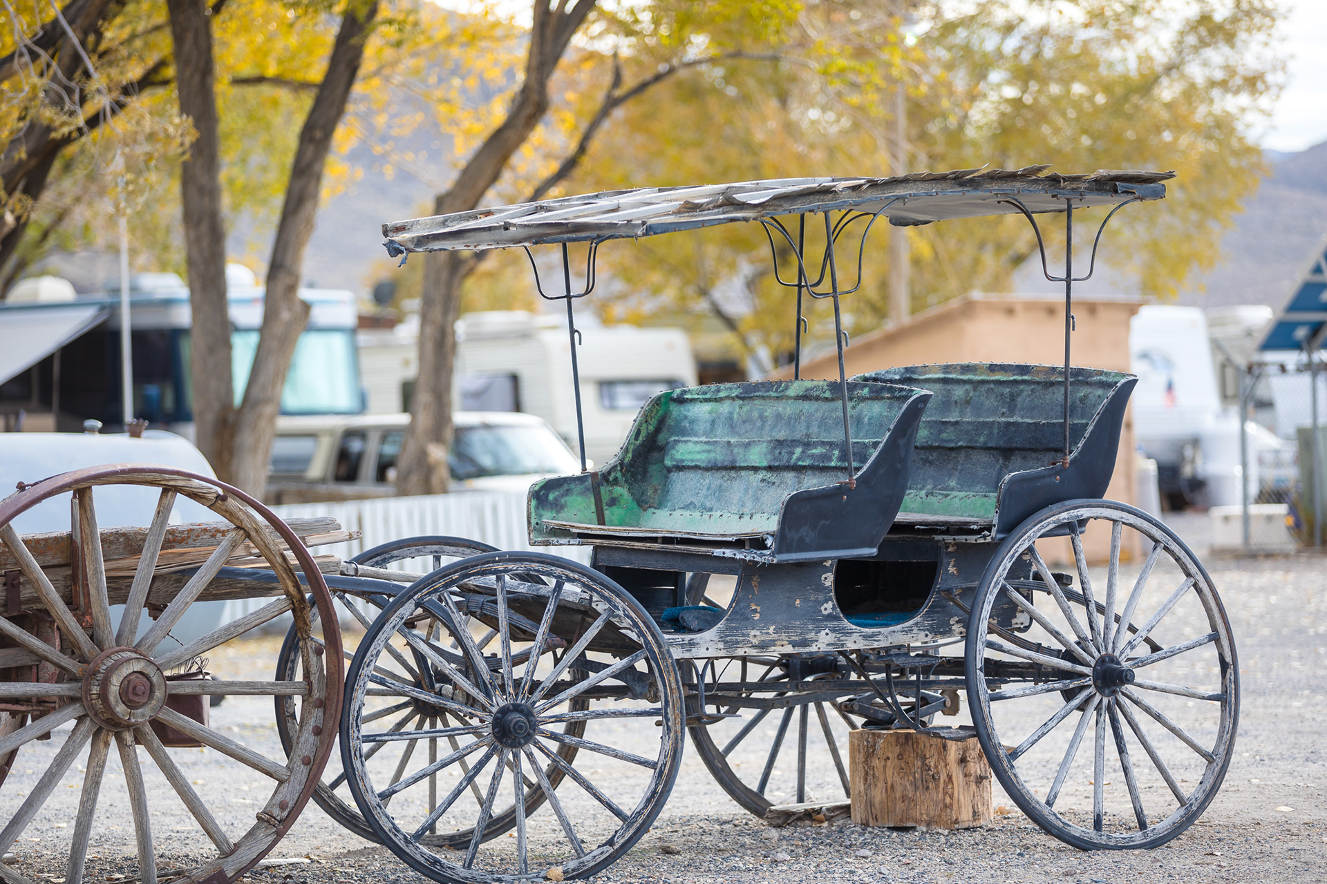
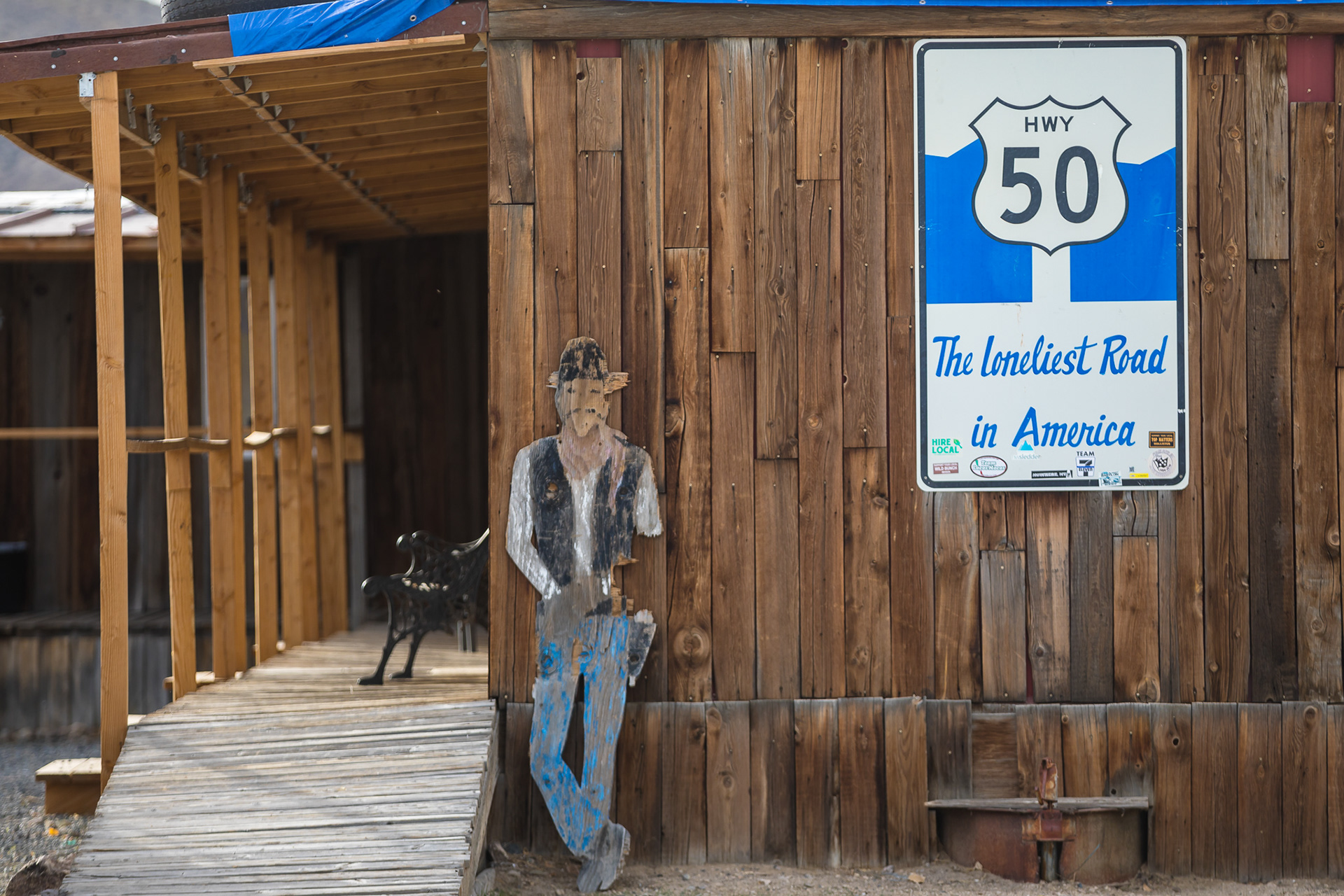
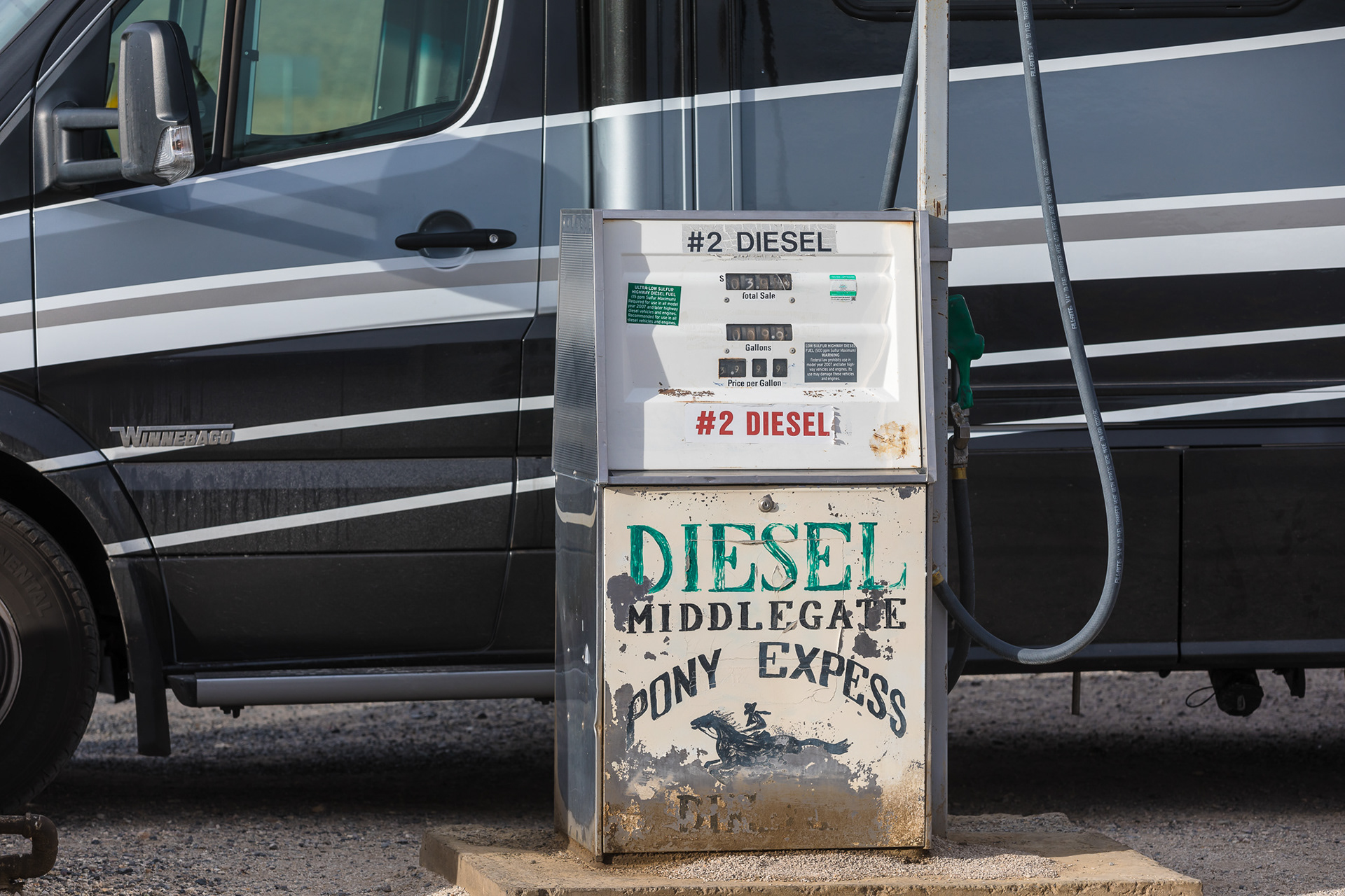
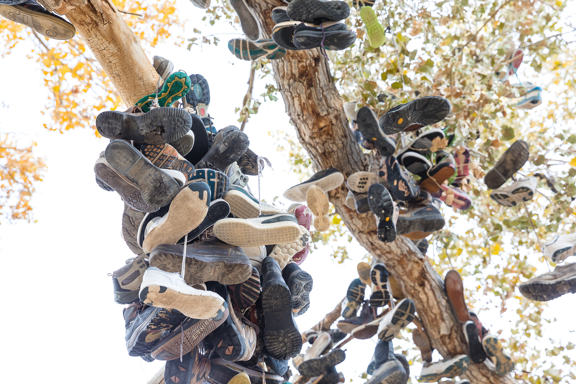
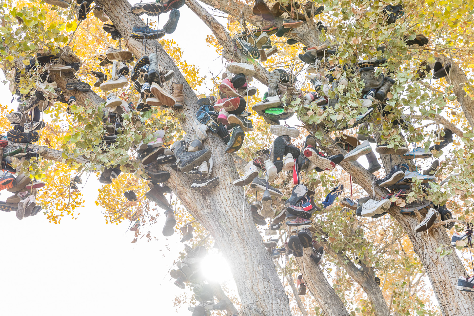
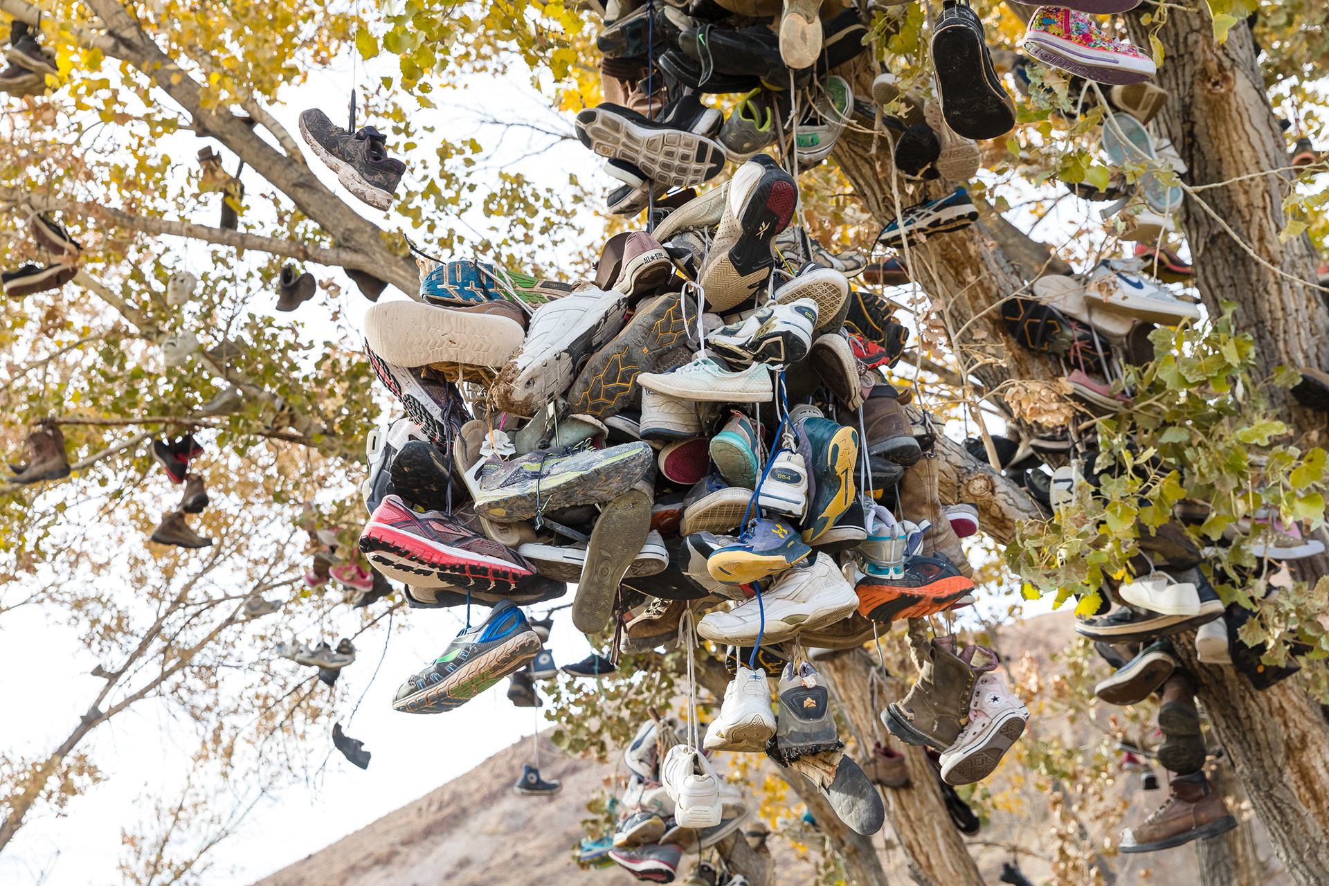
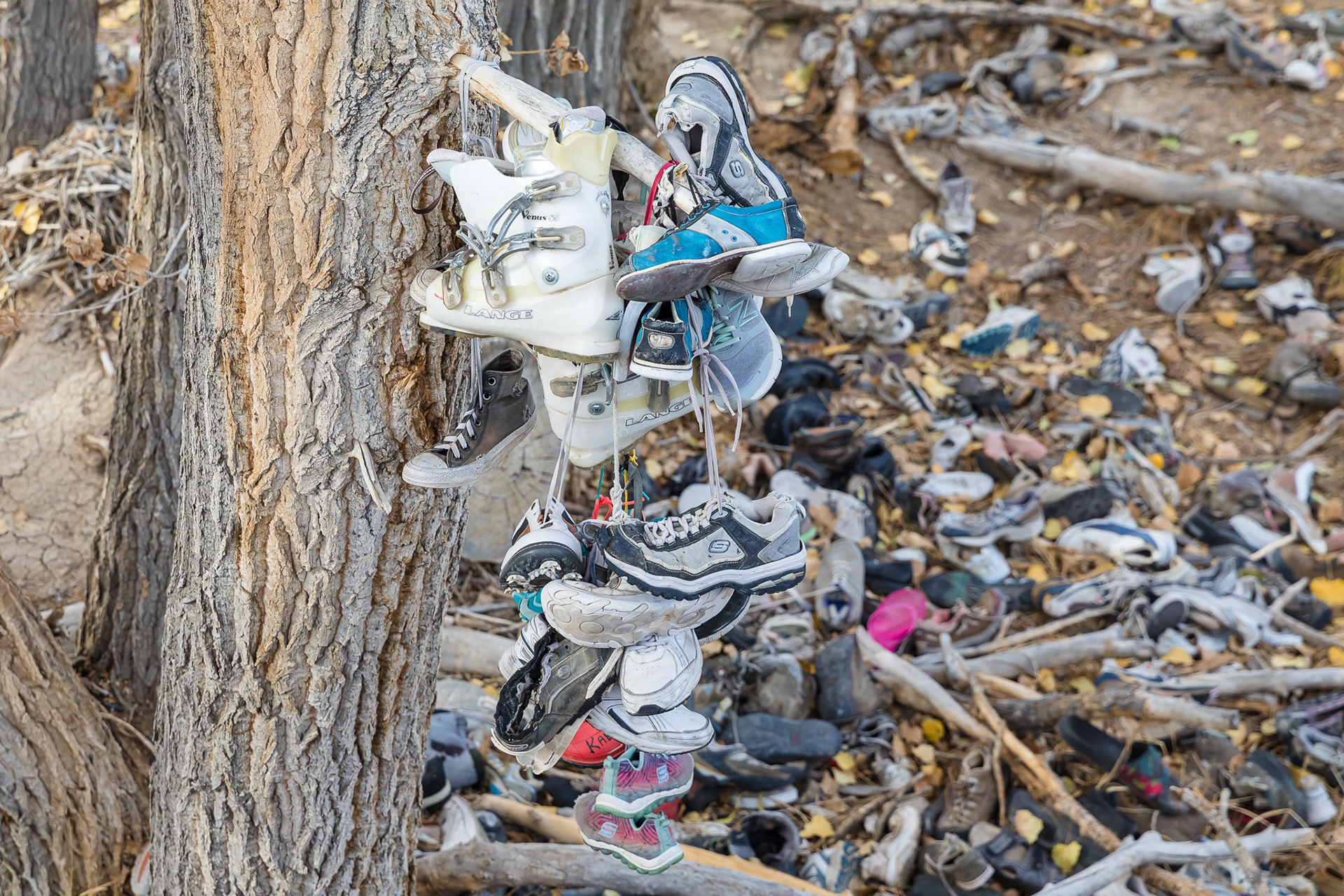
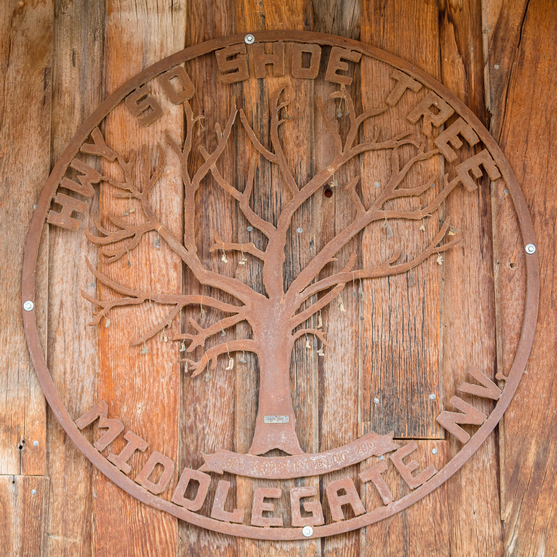
I use my Roadtrippers app on my phone quite a bit. I love it because in addition to restaurants and lodging, it will also point out photo opportunities or interesting tidbits in your area. One of those items that came up along our route was the Shoe Tree. Apparently people just stop and toss their shoes up in the tree. There aren't many trees at all along the route and even fewer that would be big enough to accommodate that kind of decoration, so it was pretty easy to pick it out. Of course, we stopped for photos! We decided we needed all of our shoes though, so we didn't have a donation to contribute.
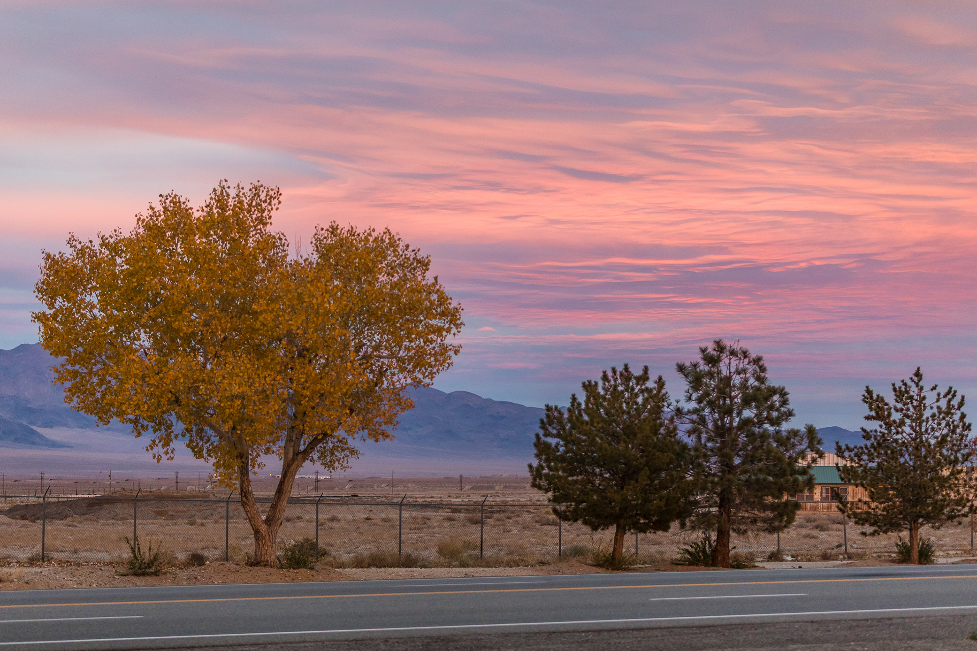
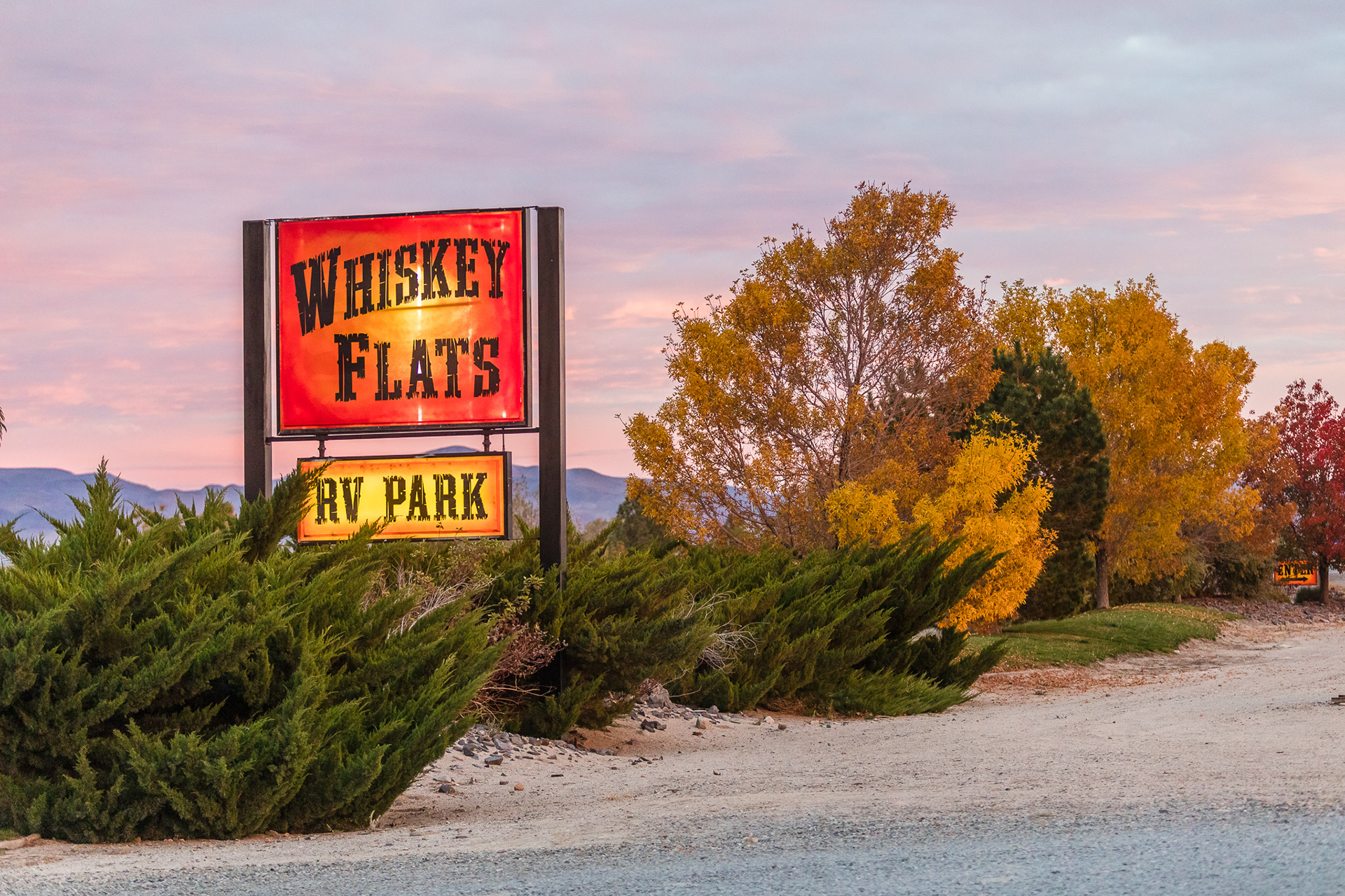
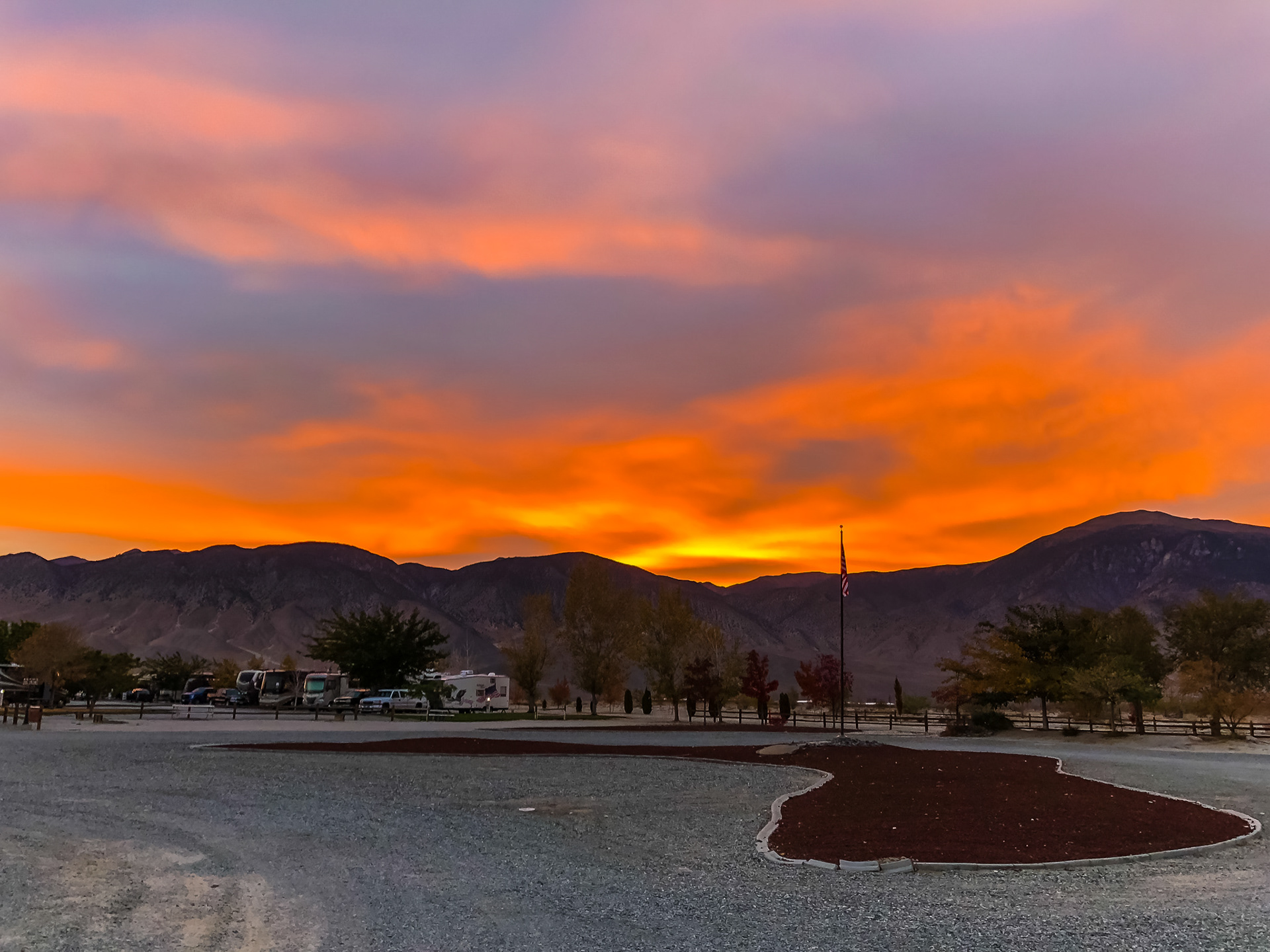
We made it as far as Hawthorne, Nevada, that night. We were just too tired and the sun was setting quickly. So I found a campground, "Whiskey Flats", thanks to Roadtrippers and we headed that way. It was nice and clean, and surrounded by mountains. Early the next morning, it was back on the road as we crossed the border into California and on to Yosemite to meet Michelle and Nestor for our three nights of camping in the national park!
